UN/LOCODE hub · United States
USWF2
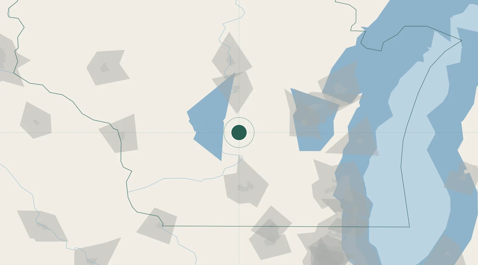
Westfield
43.8833°, -89.5167°
1,226
Population
2
Transport functions
Transport Functions
Road
Multimodal
Hub Profile
Place type
Populated place
Region
Wisconsin
Population
1,226
Time zone
America/Chicago
Elevation
265 m
Location
Nearby Logistics Neighbours
Cities
- 1Montello20 km
- 2Adams24 km
- 3Lyndon Station36 km
- 4Wisconsin Dells36 km
- 5Necedah47 km
Ports
- 1Kaukauna109 km
- 2Green Bay139 km
- 3Port Washington144 km
- 4Sheboygan147 km
- 5Manitowoc151 km
Airports
- 1Volk Field59 km
- 2Wittman Regional Airport78 km
- 3Dane County Regional Truax Field84 km
- 4Appleton International Airport90 km
- 5Central Wisconsin Airport100 km
Trade Zones
- 1FTZ No. 266 Dane County92 km
- 2FTZ No. 167 Brown County117 km
- 3FTZ No. 041 Milwaukee146 km
- 4FTZ No. 176 Rockford183 km
- 5FTZ No. 271 Jo-Daviess and Carroll Counties184 km
DatabookThe Record of Consolidated Knowledge
United States beyond logistics?