Transport Functions
Rail
Road
Hub Profile
Place type
Populated place
Region
Wisconsin
Population
1,893
Time zone
America/Chicago
Elevation
293 m
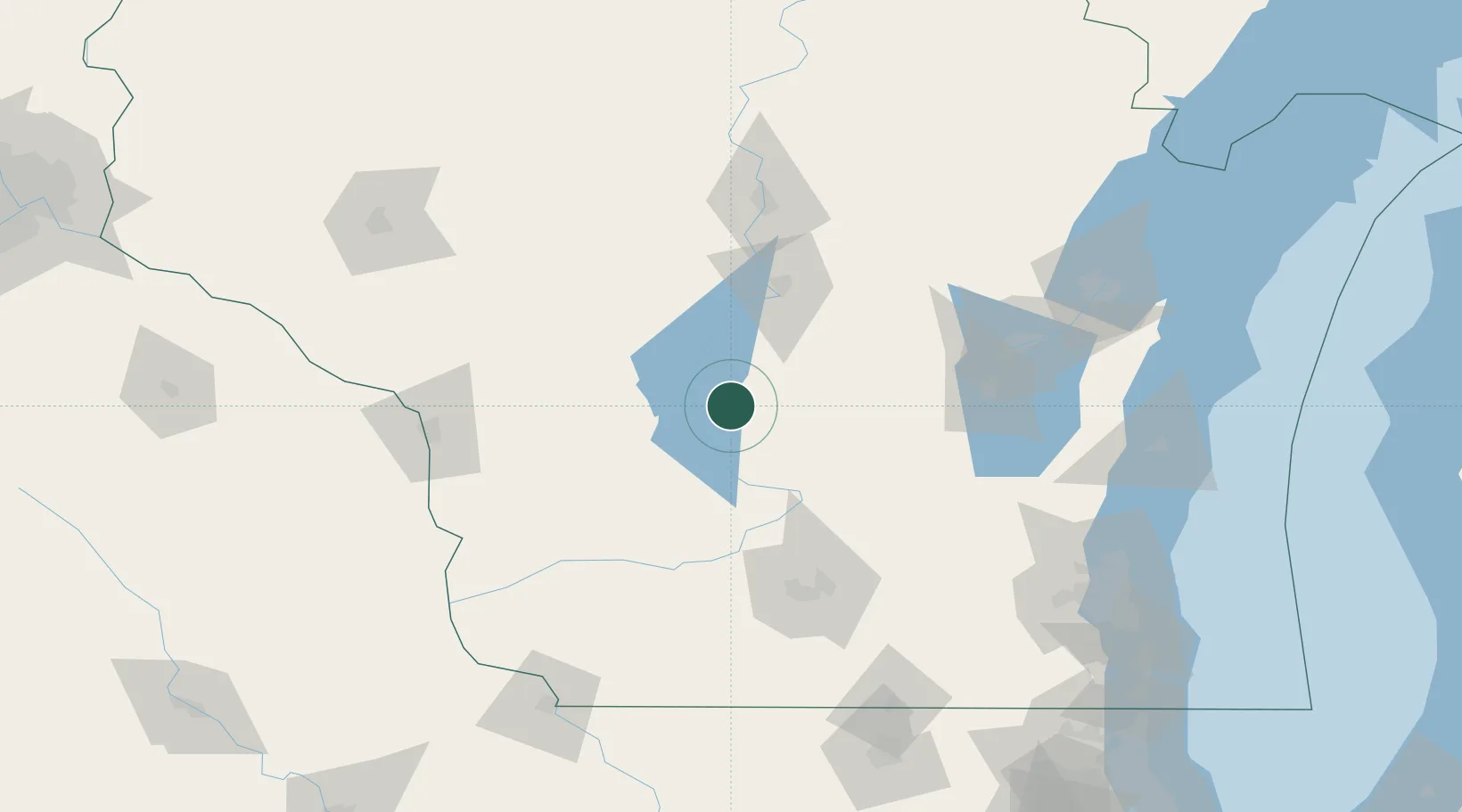
Location
Nearby Logistics Neighbours
Cities
- 1Necedah23 km
- 2Westfield24 km
- 3Lyndon Station29 km
- 4New Lisbon30 km
- 5Wisconsin Dells37 km
Ports
- 1Kaukauna128 km
- 2Green Bay155 km
- 3Port Washington168 km
- 4Sheboygan170 km
- 5Manitowoc173 km
Airports
- 1Volk Field36 km
- 2Central Wisconsin Airport93 km
- 3Dane County Regional Truax Field98 km
- 4Wittman Regional Airport100 km
- 5Appleton International Airport108 km
Trade Zones
- 1FTZ No. 266 Dane County98 km
- 2FTZ No. 167 Brown County133 km
- 3FTZ No. 041 Milwaukee169 km
- 4FTZ No. 271 Jo-Daviess and Carroll Counties185 km
- 5FTZ No. 176 Rockford195 km
DatabookThe Record of Consolidated Knowledge
United States beyond logistics?