Transport Functions
Port
Rail
Road
Multimodal
Hub Profile
Place type
Populated place
Region
Wisconsin
Population
921
Time zone
America/Chicago
Elevation
280 m
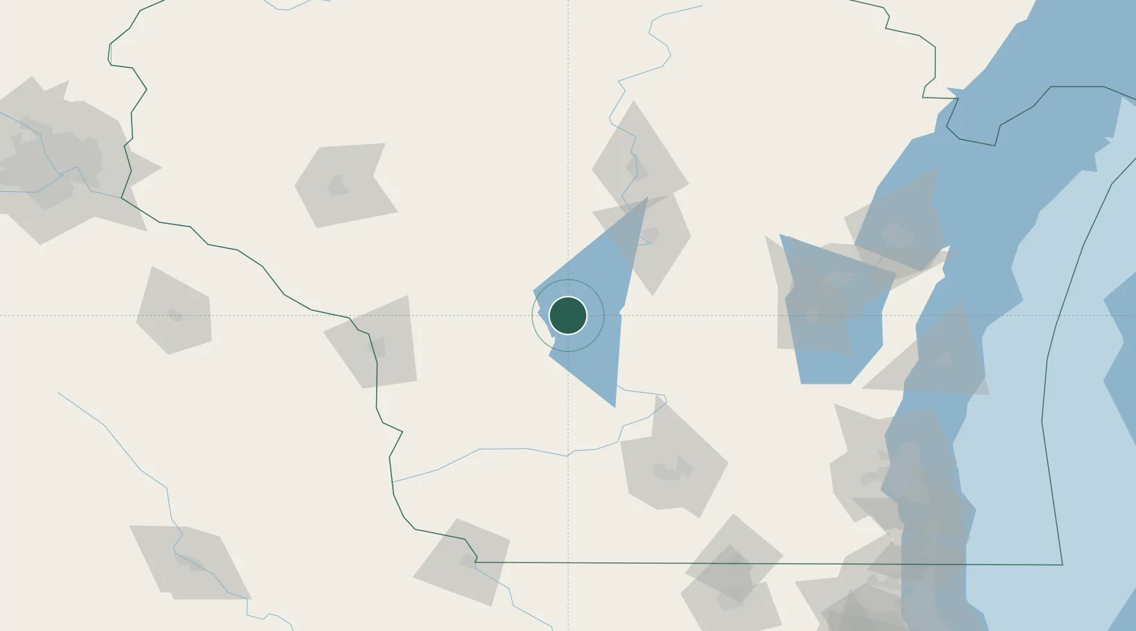
Location
Nearby Logistics Neighbours
Cities
- 1New Lisbon20 km
- 2Adams23 km
- 3Tomah35 km
- 4Elroy37 km
- 5Lyndon Station40 km
Ports
- 1Kaukauna146 km
- 2Green Bay172 km
- 3Port Washington191 km
- 4Sheboygan192 km
- 5Manitowoc193 km
Airports
- 1Volk Field18 km
- 2Central Wisconsin Airport89 km
- 3La Crosse Regional Airport97 km
- 4Wausau Downtown Airport105 km
- 5Dane County Regional Truax Field115 km
Trade Zones
- 1FTZ No. 266 Dane County111 km
- 2FTZ No. 167 Brown County150 km
- 3FTZ No. 041 Milwaukee192 km
- 4FTZ No. 271 Jo-Daviess and Carroll Counties192 km
- 5FTZ No. 176 Rockford210 km
DatabookThe Record of Consolidated Knowledge
United States beyond logistics?