UN/LOCODE hub · United States
USWNF
Wisconsin Dells
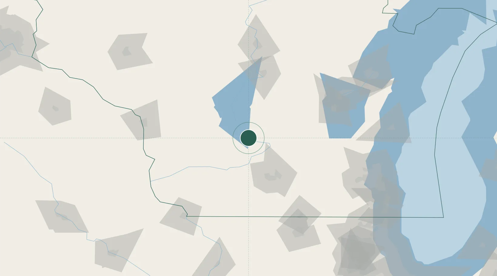
43.6167°, -89.7667°
2,705
Population
3
Transport functions
Transport Functions
Port
Rail
Road
Hub Profile
Place type
Populated place
Region
Wisconsin
Population
2,705
Time zone
America/Chicago
Elevation
277 m
Location
Nearby Logistics Neighbours
Cities
- 1Lyndon Station13 km
- 2Reedsburg19 km
- 3Rock Springs19 km
- 4North Freedom20 km
- 5Westfield36 km
Ports
- 1Kaukauna141 km
- 2Port Washington155 km
- 3Milwaukee166 km
- 4Sheboygan167 km
- 5Green Bay172 km
Airports
- 1Volk Field53 km
- 2Dane County Regional Truax Field63 km
- 3Wittman Regional Airport105 km
- 4Appleton International Airport123 km
- 5La Crosse Regional Airport123 km
Trade Zones
- 1FTZ No. 266 Dane County61 km
- 2FTZ No. 041 Milwaukee148 km
- 3FTZ No. 271 Jo-Daviess and Carroll Counties150 km
- 4FTZ No. 167 Brown County151 km
- 5FTZ No. 176 Rockford158 km
DatabookThe Record of Consolidated Knowledge
United States beyond logistics?