UN/LOCODE hub · United States
USOLO
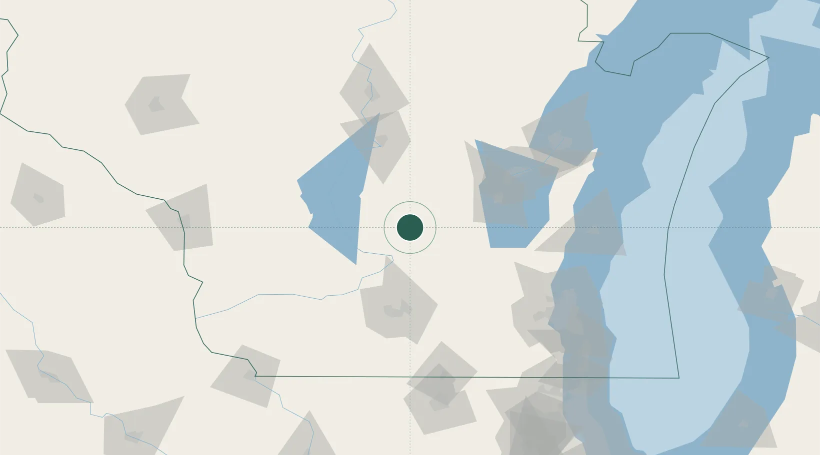
Montello
43.7833°, -89.3167°
1,456
Population
2
Transport functions
Transport Functions
Road
Multimodal
Hub Profile
Place type
Provincial seat
Region
Wisconsin
Population
1,456
Time zone
America/Chicago
Elevation
242 m
Location
Nearby Logistics Neighbours
Cities
- 1Westfield20 km
- 2Cambria33 km
- 3Rio38 km
- 4Wisconsin Dells41 km
- 5Fox Lake42 km
Ports
- 1Kaukauna101 km
- 2Port Washington125 km
- 3Sheboygan130 km
- 4Green Bay132 km
- 5Manitowoc138 km
Airports
- 1Wittman Regional Airport65 km
- 2Dane County Regional Truax Field72 km
- 3Volk Field77 km
- 4Appleton International Airport83 km
- 5Central Wisconsin Airport114 km
Trade Zones
- 1FTZ No. 266 Dane County85 km
- 2FTZ No. 167 Brown County112 km
- 3FTZ No. 041 Milwaukee127 km
- 4FTZ No. 176 Rockford170 km
- 5FTZ No. 271 Jo-Daviess and Carroll Counties180 km
DatabookThe Record of Consolidated Knowledge
United States beyond logistics?