UN/LOCODE hub · United States
USYND
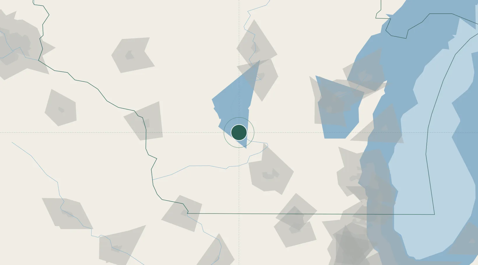
Lyndon Station
43.7000°, -89.8833°
480
Population
3
Transport functions
Transport Functions
Rail
Road
Multimodal
Hub Profile
Place type
Populated place
Region
Wisconsin
Population
480
Time zone
America/Chicago
Elevation
275 m
Location
Nearby Logistics Neighbours
Cities
- 1Wisconsin Dells13 km
- 2Reedsburg20 km
- 3Rock Springs24 km
- 4Wonewoc27 km
- 5North Freedom28 km
Ports
- 1Kaukauna145 km
- 2Port Washington166 km
- 3Green Bay175 km
- 4Sheboygan176 km
- 5Milwaukee178 km
Airports
- 1Volk Field40 km
- 2Dane County Regional Truax Field76 km
- 3Wittman Regional Airport111 km
- 4La Crosse Regional Airport112 km
- 5Central Wisconsin Airport121 km
Trade Zones
- 1FTZ No. 266 Dane County72 km
- 2FTZ No. 167 Brown County153 km
- 3FTZ No. 271 Jo-Daviess and Carroll Counties157 km
- 4FTZ No. 041 Milwaukee160 km
- 5FTZ No. 176 Rockford170 km
DatabookThe Record of Consolidated Knowledge
United States beyond logistics?