Transport Functions
Multimodal
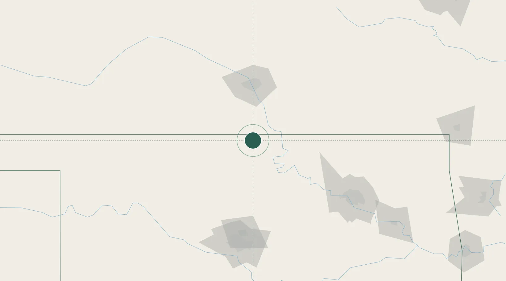
Hub Profile
Place type
Populated place
Region
Oklahoma
Population
212
Time zone
America/Chicago
Elevation
321 m
Location
Nearby Logistics Neighbours
Cities
- 1Caldwell23 km
- 2Tonkawa28 km
- 3Wellington37 km
- 4Milan49 km
- 5Mulvane62 km
Ports
- 1Port Of Memphis677 km
- 2Beaumont817 km
- 3Deer Park818 km
- 4Houston819 km
- 5Pasadena824 km
Airports
Trade Zones
- 1FTZ No. 161 Sedgwick County94 km
- 2FTZ No. 053 Rogers County147 km
- 3FTZ No. 106 Oklahoma City162 km
- 4FTZ No. 164 Muskogee215 km
- 5FTZ No. 015 Kansas City302 km
DatabookThe Record of Consolidated Knowledge
United States beyond logistics?