Transport Functions
Rail
Road
Multimodal
Hub Profile
Place type
Populated place
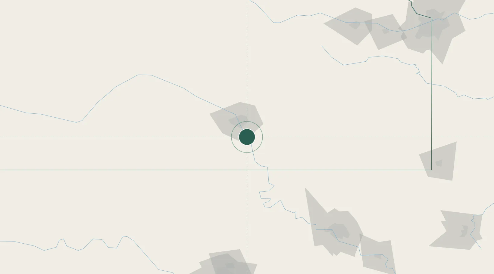
Region
Kansas
Population
6,314
Time zone
America/Chicago
Elevation
376 m
Location
Nearby Logistics Neighbours
Cities
- 1Wellington27 km
- 2Andover27 km
- 3Goddard36 km
- 4Towanda42 km
- 5Saint Marys44 km
Ports
- 1Port Of Memphis687 km
- 2Beaumont871 km
- 3Deer Park876 km
- 4Houston877 km
- 5Pasadena882 km
Airports
Trade Zones
- 1FTZ No. 161 Sedgwick County53 km
- 2FTZ No. 053 Rogers County176 km
- 3FTZ No. 106 Oklahoma City224 km
- 4FTZ No. 164 Muskogee251 km
- 5FTZ No. 015 Kansas City255 km
DatabookThe Record of Consolidated Knowledge
United States beyond logistics?