UN/LOCODE hub · United States
USWBT

Wallace

34.7167°, -79.8333°
892
Population
2
Transport functions

Transport Functions

Rail
Road
UN/LOCODE

Hub Profile

Place type
Populated place
GeoNames
Region
South Carolina
GeoNames
Population
892
GeoNames
Time zone
America/New_York
GeoNames
Elevation
46 m
GeoNames

Location

Location of USWBT
Natural Earth 10m (public domain) · South Carolina · USWBT · 34.72, -79.83GoogleOSMYandex

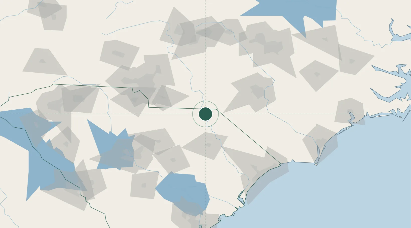
Nearby Logistics Neighbours

Cities
  1. 1Gibson22 km
  2. 2Cordova22 km
  3. 3Tatum25 km
  4. 4Laurel Hill29 km
  5. 5Ruby31 km
Nearest neighbours — logibook spatial index (haversine) over the source coordinates
Ports
  1. 1Georgetown158 km
  2. 2Wilmington181 km
  3. 3Southport189 km
  4. 4Wrightsville193 km
  5. 5Charleston215 km
Nearest neighbours — logibook spatial index (haversine) over the source coordinates
Airports
  1. 1Florence Regional Airport60 km
  2. 2Lumberton Regional Airport72 km
  3. 3Pope Field90 km
  4. 4Fayetteville Regional Airport - Grannis Field92 km
  5. 5Simmons Army Air Field94 km
Nearest neighbours — logibook spatial index (haversine) over the source coordinates
Trade Zones
  1. 1FTZ No. 057 Mecklenburg County129 km
  2. 2FTZ No. 127 West Columbia144 km
  3. 3FTZ No. 093 Raleigh Durham157 km
  4. 4FTZ No. 230 Piedmont Triad Area166 km
  5. 5FTZ No. 214 Lenoir County185 km
Nearest neighbours — logibook spatial index (haversine) over the source coordinates
DatabookThe Record of Consolidated Knowledge
United States beyond logistics?
Browse databook

All Sources

LocationsUN/LOCODE
UN/LOCODE — free
LocationsGeoNames
CC BY 4.0
Portsthe NGA World Port Index
Public domain (US gov)
AirportsOurAirports
Public domain
Trade Zonesthe World Bank SEZ database
CC BY 4.0
Trade ZonesOpen Zone Map
CC BY
← United States locations