UN/LOCODE hub · United States
USOYV

Cordova

34.9167°, -79.8167°
1,775
Population
3
Transport functions

Transport Functions

Rail
Road
Multimodal
UN/LOCODE

Hub Profile

Place type
Populated place
GeoNames
Region
North Carolina
GeoNames
Population
1,775
GeoNames
Time zone
America/New_York
GeoNames
Elevation
87 m
GeoNames

Location

Location of USOYV
Natural Earth 10m (public domain) · North Carolina · USOYV · 34.92, -79.82GoogleOSMYandex

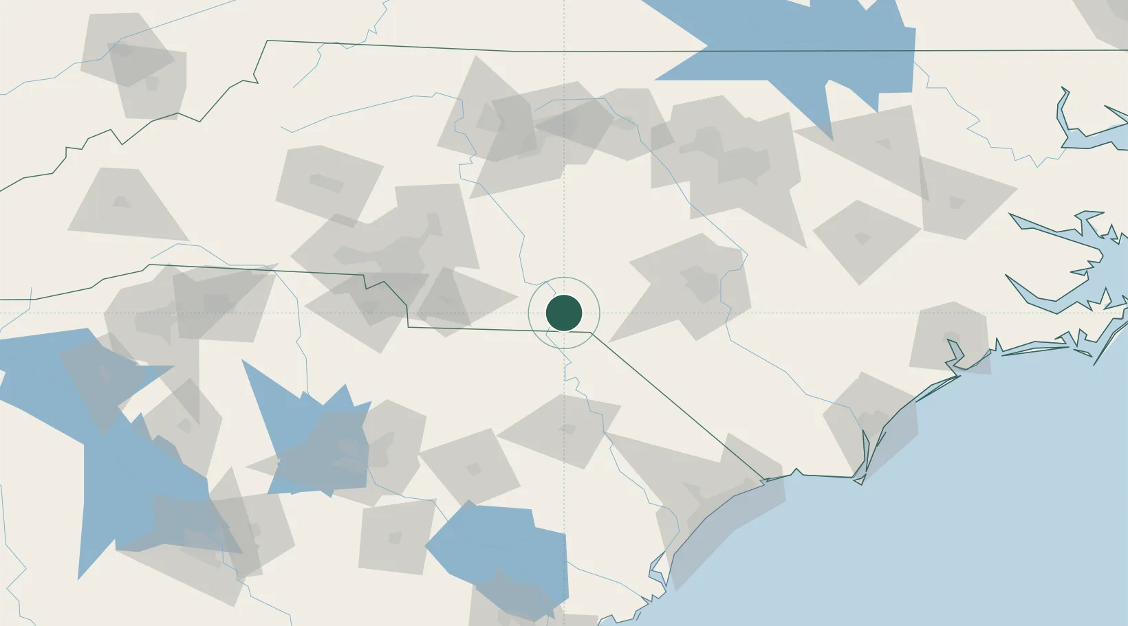
Nearby Logistics Neighbours

Cities
  1. 1Lilesville16 km
  2. 2Ellerbe17 km
  3. 3Wallace22 km
  4. 4Wadesboro23 km
  5. 5Gibson27 km
Nearest neighbours — logibook spatial index (haversine) over the source coordinates
Ports
  1. 1Georgetown179 km
  2. 2Wilmington187 km
  3. 3Wrightsville199 km
  4. 4Southport199 km
  5. 5Charleston237 km
Nearest neighbours — logibook spatial index (haversine) over the source coordinates
Airports
  1. 1Lumberton Regional Airport77 km
  2. 2Pope Field78 km
  3. 3Florence Regional Airport82 km
  4. 4Simmons Army Air Field84 km
  5. 5Fayetteville Regional Airport - Grannis Field86 km
Nearest neighbours — logibook spatial index (haversine) over the source coordinates
Trade Zones
  1. 1FTZ No. 057 Mecklenburg County121 km
  2. 2FTZ No. 093 Raleigh Durham138 km
  3. 3FTZ No. 230 Piedmont Triad Area145 km
  4. 4FTZ No. 127 West Columbia158 km
  5. 5FTZ No. 214 Lenoir County178 km
Nearest neighbours — logibook spatial index (haversine) over the source coordinates
DatabookThe Record of Consolidated Knowledge
United States beyond logistics?
Browse databook

All Sources

LocationsUN/LOCODE
UN/LOCODE — free
LocationsGeoNames
CC BY 4.0
Portsthe NGA World Port Index
Public domain (US gov)
AirportsOurAirports
Public domain
Trade Zonesthe World Bank SEZ database
CC BY 4.0
Trade ZonesOpen Zone Map
CC BY
← United States locations