UN/LOCODE hub · United States
USLH9

Laurel Hill

34.8000°, -79.5333°
1,254
Population
1
Transport functions

Transport Functions

Multimodal
UN/LOCODE

Hub Profile

Place type
Populated place
GeoNames
Region
North Carolina
GeoNames
Population
1,254
GeoNames
Time zone
America/New_York
GeoNames
Elevation
77 m
GeoNames

Location

Location of USLH9
Natural Earth 10m (public domain) · North Carolina · USLH9 · 34.80, -79.53GoogleOSMYandex

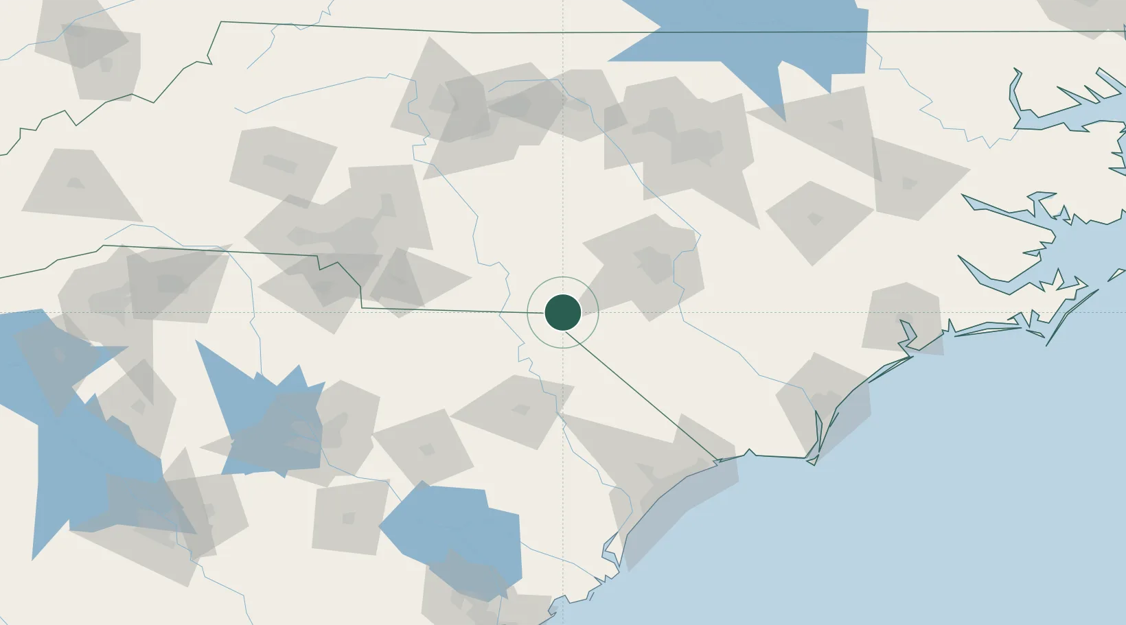
Nearby Logistics Neighbours

Cities
  1. 1Gibson8 km
  2. 2Tatum19 km
  3. 3Cordova29 km
  4. 4Wallace29 km
  5. 5Ellerbe37 km
Nearest neighbours — logibook spatial index (haversine) over the source coordinates
Ports
  1. 1Wilmington158 km
  2. 2Georgetown161 km
  3. 3Wrightsville170 km
  4. 4Southport170 km
  5. 5Charleston227 km
Nearest neighbours — logibook spatial index (haversine) over the source coordinates
Airports
  1. 1Lumberton Regional Airport48 km
  2. 2Pope Field63 km
  3. 3Fayetteville Regional Airport - Grannis Field63 km
  4. 4Simmons Army Air Field66 km
  5. 5Florence Regional Airport71 km
Nearest neighbours — logibook spatial index (haversine) over the source coordinates
Trade Zones
  1. 1FTZ No. 093 Raleigh Durham136 km
  2. 2FTZ No. 057 Mecklenburg County150 km
  3. 3FTZ No. 214 Lenoir County157 km
  4. 4FTZ No. 230 Piedmont Triad Area164 km
  5. 5FTZ No. 127 West Columbia172 km
Nearest neighbours — logibook spatial index (haversine) over the source coordinates
DatabookThe Record of Consolidated Knowledge
United States beyond logistics?
Browse databook

All Sources

LocationsUN/LOCODE
UN/LOCODE — free
LocationsGeoNames
CC BY 4.0
Portsthe NGA World Port Index
Public domain (US gov)
AirportsOurAirports
Public domain
Trade Zonesthe World Bank SEZ database
CC BY 4.0
Trade ZonesOpen Zone Map
CC BY
← United States locations