UN/LOCODE hub · United States
USGB5

Gibson

34.7500°, -79.6000°
519
Population
1
Transport functions

Transport Functions

Multimodal
UN/LOCODE

Hub Profile

Place type
Populated place
GeoNames
Region
North Carolina
GeoNames
Population
519
GeoNames
Time zone
America/New_York
GeoNames
Elevation
76 m
GeoNames

Location

Location of USGB5
Natural Earth 10m (public domain) · North Carolina · USGB5 · 34.75, -79.60GoogleOSMYandex

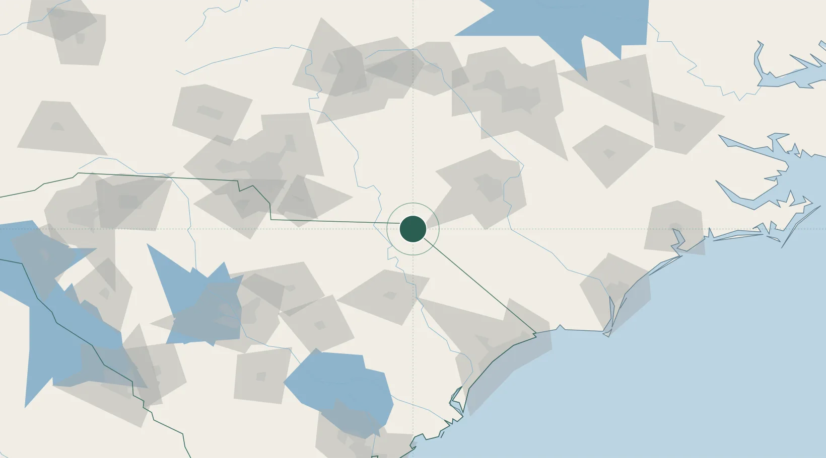
Nearby Logistics Neighbours

Cities
  1. 1Laurel Hill8 km
  2. 2Tatum13 km
  3. 3Wallace22 km
  4. 4Cordova27 km
  5. 5Ellerbe38 km
Nearest neighbours — logibook spatial index (haversine) over the source coordinates
Ports
  1. 1Georgetown157 km
  2. 2Wilmington162 km
  3. 3Southport172 km
  4. 4Wrightsville174 km
  5. 5Charleston221 km
Nearest neighbours — logibook spatial index (haversine) over the source coordinates
Airports
  1. 1Lumberton Regional Airport52 km
  2. 2Florence Regional Airport64 km
  3. 3Fayetteville Regional Airport - Grannis Field71 km
  4. 4Pope Field71 km
  5. 5Simmons Army Air Field74 km
Nearest neighbours — logibook spatial index (haversine) over the source coordinates
Trade Zones
  1. 1FTZ No. 093 Raleigh Durham143 km
  2. 2FTZ No. 057 Mecklenburg County147 km
  3. 3FTZ No. 127 West Columbia164 km
  4. 4FTZ No. 214 Lenoir County164 km
  5. 5FTZ No. 230 Piedmont Triad Area168 km
Nearest neighbours — logibook spatial index (haversine) over the source coordinates
DatabookThe Record of Consolidated Knowledge
United States beyond logistics?
Browse databook

All Sources

LocationsUN/LOCODE
UN/LOCODE — free
LocationsGeoNames
CC BY 4.0
Portsthe NGA World Port Index
Public domain (US gov)
AirportsOurAirports
Public domain
Trade Zonesthe World Bank SEZ database
CC BY 4.0
Trade ZonesOpen Zone Map
CC BY
← United States locations