Medium airport · United States
Pope FieldKPOB
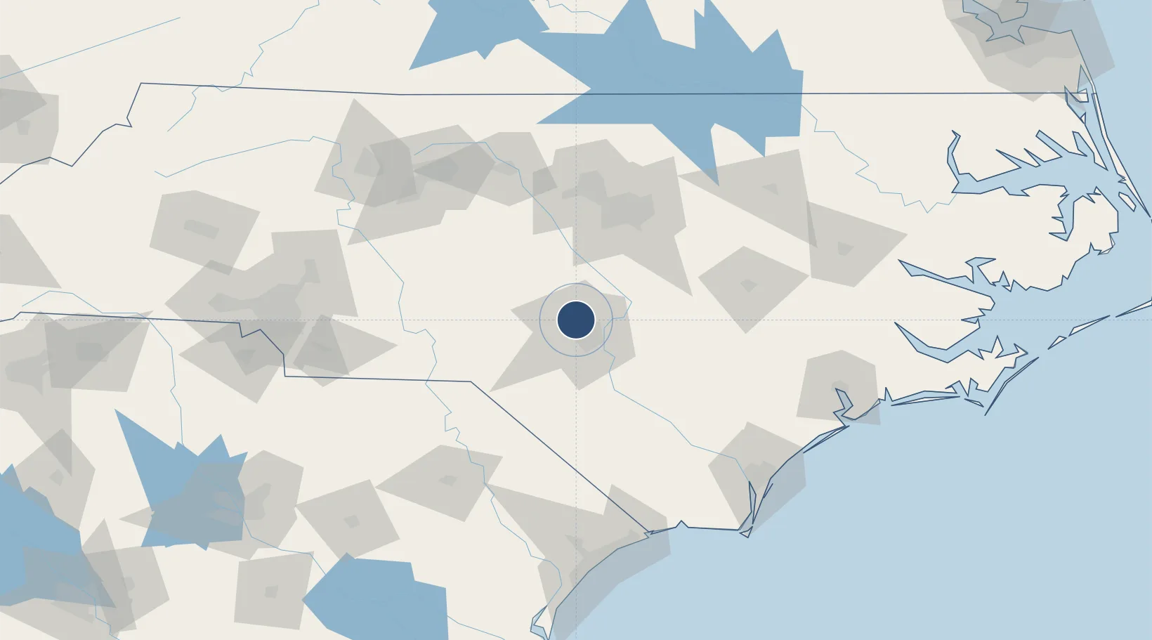
35.1709°, -79.0145°
7,501 ft
Longest runway
2
Runways
217 ft
Elevation
Runway & Layout

Radio Frequencies
ATIS
132.3 MHz
TWR
135.025 MHz
GND
124.55 MHz
CLD
27.58 MHz
CLNC DEL
A/D
125.175 MHz
FAYETTEVILLE APP/DEP
ACP
134.1 MHz
COMD POST
PMSV
34.46 MHz
PMSV METRO
PTD
37.22 MHz
Navaids
POB TACAN Pope 113.80 MHz
POB NDB Pope 338 kHz
Runways · 2
| Runway | Dimensions | Surface | True heading | Lit |
|---|---|---|---|---|
| 05/23 | 7,501 × 150ft | Asphalt / concrete | 041° | ✓ |
| 049/229 | 3,000 × 60ft | ASPH | — | — |
Airport Specifications
IATA code
POB
ICAO code
KPOB
Airport class
Medium airport
Scheduled service
No
Runway surface
Asphalt / concrete
Served city
Fort Bragg
Location
Nearby Logistics Neighbours
Airports
Cities
- 1Spring Lake4 km
- 2Cameron28 km
- 3Parkton30 km
- 4Stedman33 km
- 5Aberdin37 km
Ports
- 1Wilmington143 km
- 2Wrightsville153 km
- 3Southport167 km
- 4New Bern179 km
- 5Washington183 km
Trade Zones
DatabookThe Record of Consolidated Knowledge
United States beyond logistics?