Medium airport · United States

Simmons Army Air FieldKFBG
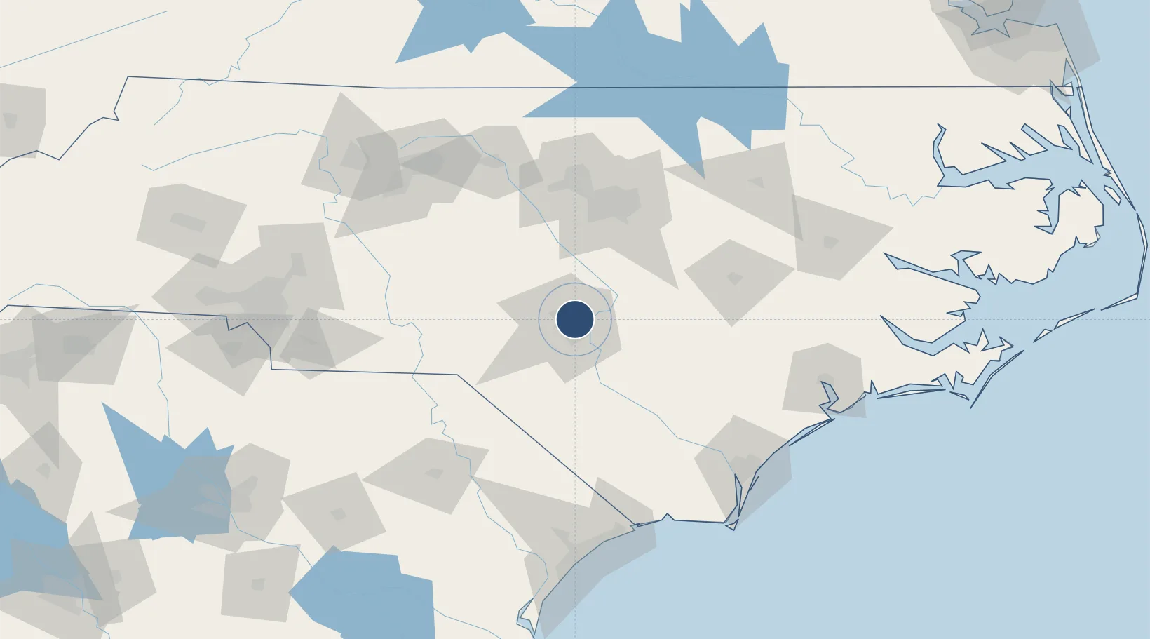
35.1318°, -78.9367°
4,121 ft
Longest runway
1
Runways
244 ft
Elevation

Runway & Layout

Simmons Army Air Field runway & taxiway layout
Runway & taxiway layout — OpenStreetMap (ODbL) / OurAirports

Radio Frequencies

ATIS
139.25 MHz
TWR
125.9 MHz
A/D
133 MHz
FAYETTEVILLE APP/DEP
AAS
125.9 MHz
FLT ADVSY
GCCD
121.9 MHz
GND/CLNC DEL
MISC
46.75 MHz
RANGE RDO
OPS
142.35 MHz
BASE OPS
PMSV
141.25 MHz
PMSV METRO
OurAirports

Navaids

FGP NDB Fort Bragg 393 kHz
OurAirports

Runways · 1

RunwayDimensions SurfaceTrue headingLit
10/28 4,121 × 100ft Asphalt 086°
OurAirports

Airport Specifications

IATA code
FBG
OurAirports
ICAO code
KFBG
OurAirports
Airport class
Medium airport
OurAirports
Scheduled service
No
OurAirports
Runway surface
Asphalt
OurAirports
Served city
Fort Bragg
OurAirports

Location

Location of KFBG
Natural Earth 10m (public domain) · North Carolina · KFBG · 35.13, -78.94GoogleOSMYandex

Nearby Logistics Neighbours

Airports
  1. 1Pope Field8 km
  2. 2Fayetteville Regional Airport - Grannis Field17 km
  3. 3Lumberton Regional Airport59 km
  4. 4Johnston Regional Airport67 km
  5. 5Raleigh-Durham International Airport84 km
Nearest neighbours — logibook spatial index (haversine) over the source coordinates
Cities
  1. 1Spring Lake5 km
  2. 2Stedman25 km
  3. 3Parkton26 km
  4. 4Cameron36 km
  5. 5Coats39 km
Nearest neighbours — logibook spatial index (haversine) over the source coordinates
Ports
  1. 1Wilmington135 km
  2. 2Wrightsville144 km
  3. 3Southport159 km
  4. 4New Bern172 km
  5. 5Washington177 km
Nearest neighbours — logibook spatial index (haversine) over the source coordinates
Trade Zones
  1. 1FTZ No. 093 Raleigh Durham86 km
  2. 2FTZ No. 214 Lenoir County95 km
  3. 3FTZ No. 230 Piedmont Triad Area161 km
  4. 4FTZ No. 057 Mecklenburg County196 km
  5. 5FTZ No. 127 West Columbia237 km
Nearest neighbours — logibook spatial index (haversine) over the source coordinates
DatabookThe Record of Consolidated Knowledge
United States beyond logistics?
Browse databook

All Sources

AirportsOurAirports
Public domain
Portsthe NGA World Port Index
Public domain (US gov)
LocationsUN/LOCODE
UN/LOCODE — free
Trade Zonesthe World Bank SEZ database
CC BY 4.0
Trade ZonesOpen Zone Map
CC BY
InfrastructureOpenStreetMap
ODbL 1.0
← United States airports