Transport Functions
Road
Multimodal
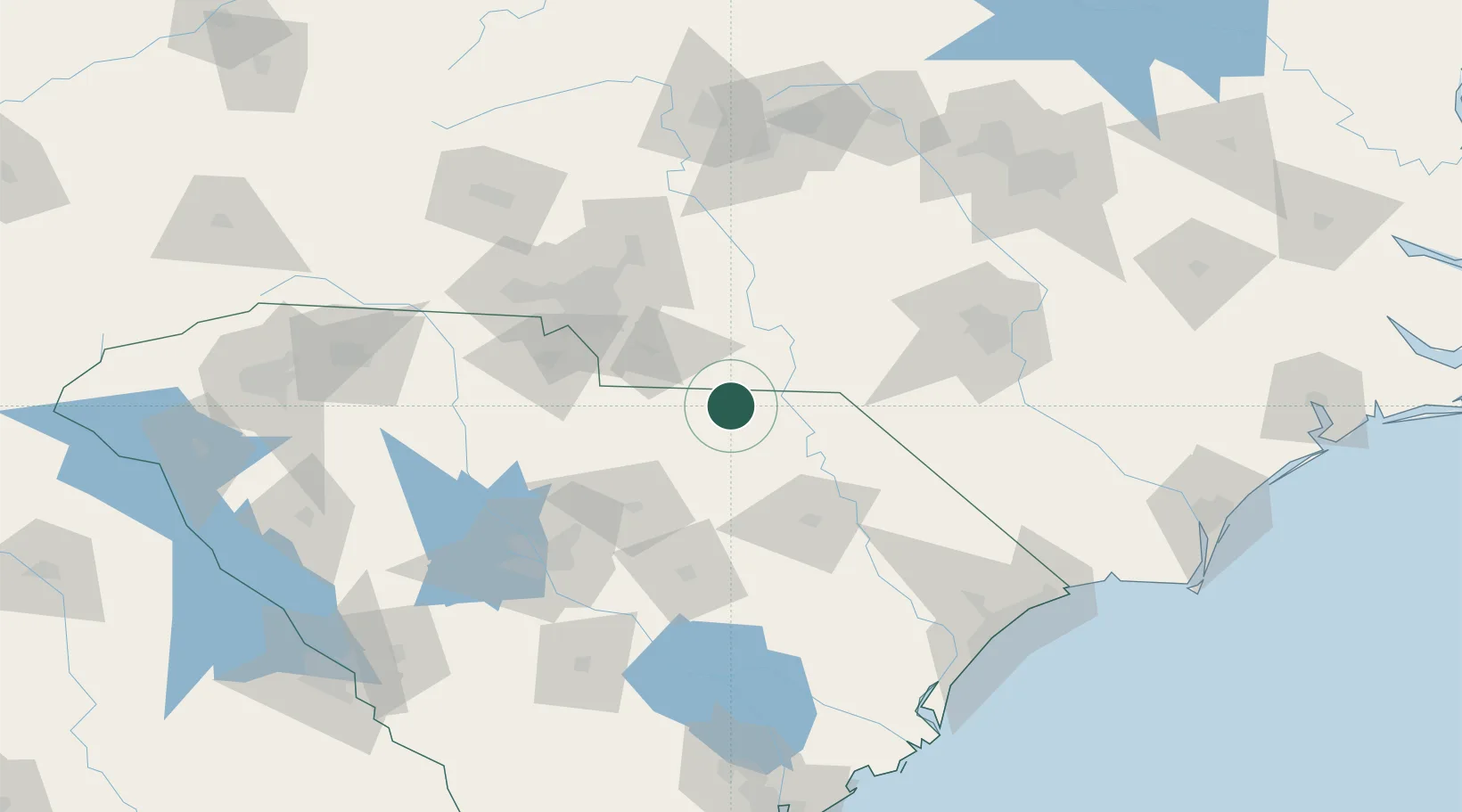
Hub Profile
Place type
Populated place
Region
South Carolina
Population
351
Time zone
America/New_York
Elevation
116 m
Logistics facilities
2
Location
Nearby Logistics Neighbours
Cities
- 1Wadesboro26 km
- 2Polkton30 km
- 3Wallace31 km
- 4Lilesville31 km
- 5Cordova38 km
Ports
- 1Georgetown172 km
- 2Wilmington211 km
- 3Southport217 km
- 4Charleston218 km
- 5Wrightsville223 km
Airports
Trade Zones
DatabookThe Record of Consolidated Knowledge
United States beyond logistics?