UN/LOCODE hub · United States
USBF5
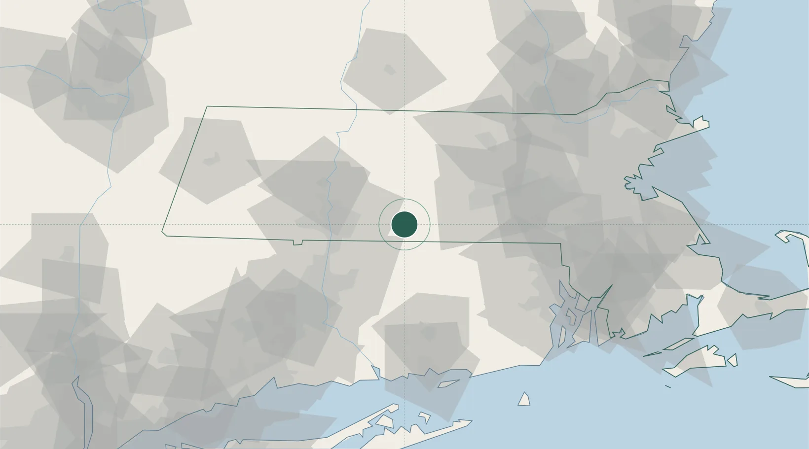
Brimfield
42.1167°, -72.2167°
3,397
Population
2
Transport functions
Transport Functions
Road
Multimodal
Hub Profile
Place type
Populated place
Region
Massachusetts
Population
3,397
Time zone
America/New_York
Elevation
202 m
Location
Nearby Logistics Neighbours
Cities
- 1Bondsville13 km
- 2West Brookfield14 km
- 3Stafford16 km
- 4Southbridge16 km
- 5North Brookfield20 km
Ports
- 1Norwich68 km
- 2Providence76 km
- 3New London86 km
- 4Essex86 km
- 5Davisville Depot88 km
Airports
Trade Zones
DatabookThe Record of Consolidated Knowledge
United States beyond logistics?