Medium airport · United States
Central Wyoming Regional AirportKRIW
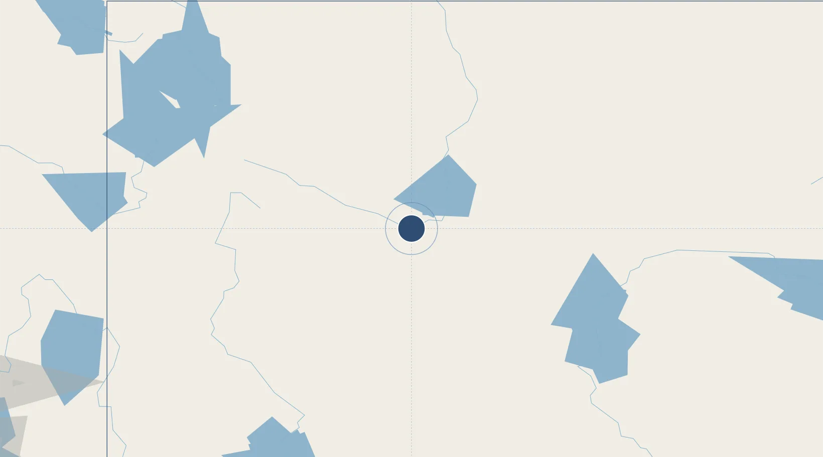
43.0642°, -108.4600°
8,204 ft
Longest runway
2
Runways
5,525 ft
Elevation
Runway & Layout

Radio Frequencies
ASOS
121.425 MHz
RDO
122.2 MHz
CASPER RDO
UNIC
122.8 MHz
CTAF/UNICOM
Runways · 2
| Runway | Dimensions | Surface | True heading | Lit |
|---|---|---|---|---|
| 10/28 | 8,204 × 150ft | Asphalt | 114° | ✓ |
| 01/19 | 4,800 × 75ft | Asphalt | 024° | ✓ |
Airport Specifications
IATA code
RIW
ICAO code
KRIW
Airport class
Medium airport
Scheduled service
Yes
Runway surface
Asphalt
Served city
Riverton
Location
Nearby Logistics Neighbours
Airports
- 1Hunt Field35 km
- 2Worland Municipal Airport108 km
- 3Ralph Wenz Field114 km
- 4Miley Memorial Field145 km
- 5Casper-Natrona County International Airport164 km
Cities
- 1Upton68 km
- 2Ten Sleep135 km
- 3Point of Rocks156 km
- 4Reliance166 km
- 5Mills172 km
Ports
- 1The Dalles1049 km
- 2Sacramento1203 km
- 3Courtland1222 km
- 4Stockton1224 km
- 5Walnut Grove1224 km
Trade Zones
- 1FTZ No. 030 Salt Lake City387 km
- 2FTZ No. 275 Lansing460 km
- 3FTZ No. 298 Jefferson County461 km
- 4FTZ No. 123 Denver469 km
- 5FTZ No. 274 Butte-Silver Bow474 km
DatabookThe Record of Consolidated Knowledge
United States beyond logistics?