Transport Functions
Multimodal
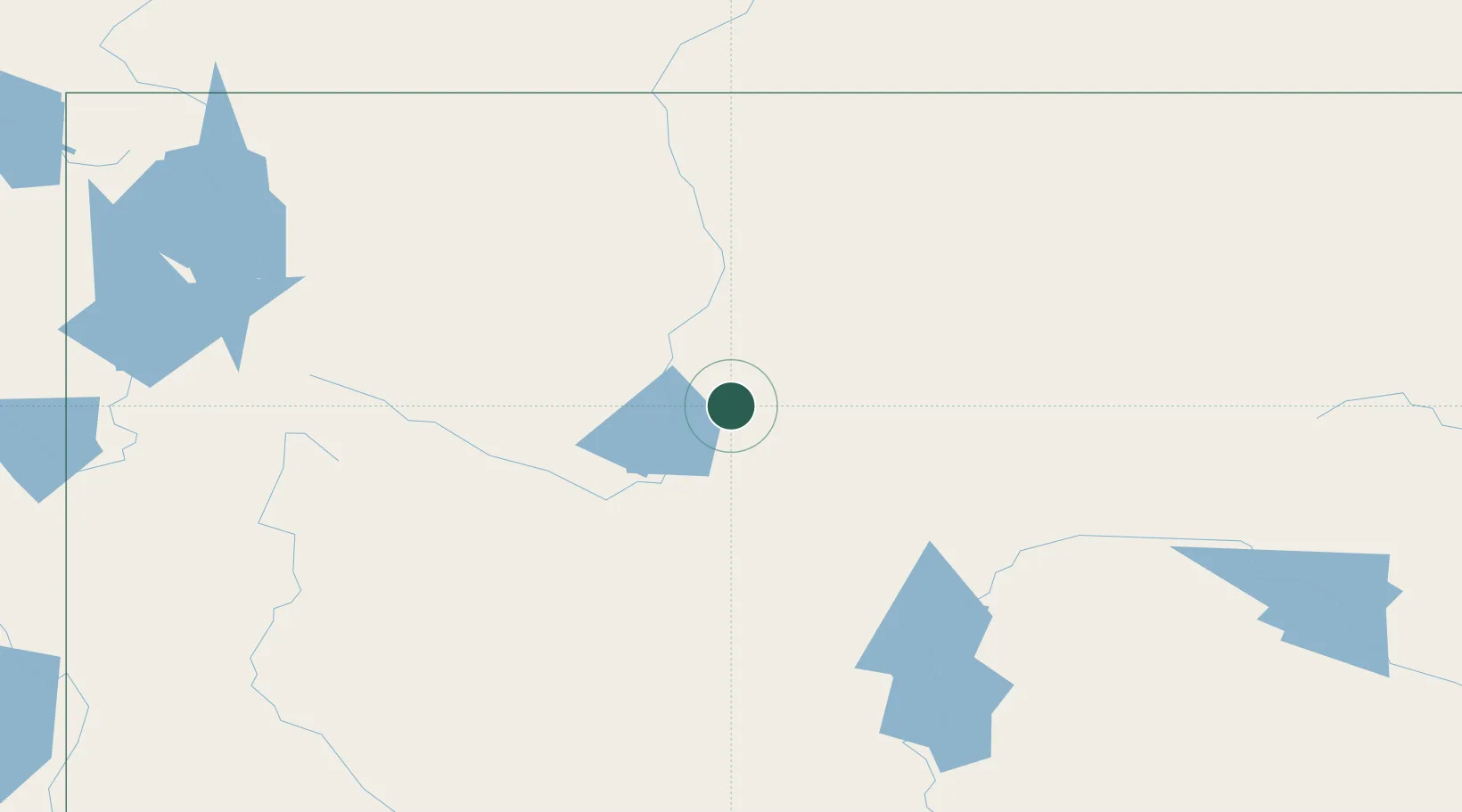
Hub Profile
Place type
Populated place
Region
Wyoming
Population
1,109
Time zone
America/Denver
Elevation
1,292 m
Location
Nearby Logistics Neighbours
Cities
- 1Ten Sleep68 km
- 2Mills143 km
- 3Evansville149 km
- 4Glenrock176 km
- 5Point of Rocks215 km
Ports
- 1The Dalles1079 km
- 2Sacramento1265 km
- 3Courtland1284 km
- 4Walnut Grove1286 km
- 5Duluth1287 km
Airports
Trade Zones
- 1FTZ No. 030 Salt Lake City455 km
- 2FTZ No. 275 Lansing463 km
- 3FTZ No. 298 Jefferson County475 km
- 4FTZ No. 274 Butte-Silver Bow480 km
- 5FTZ No. 123 Denver482 km
DatabookThe Record of Consolidated Knowledge
United States beyond logistics?