Medium airport · United States

Northeast Wyoming Regional AirportKGCC

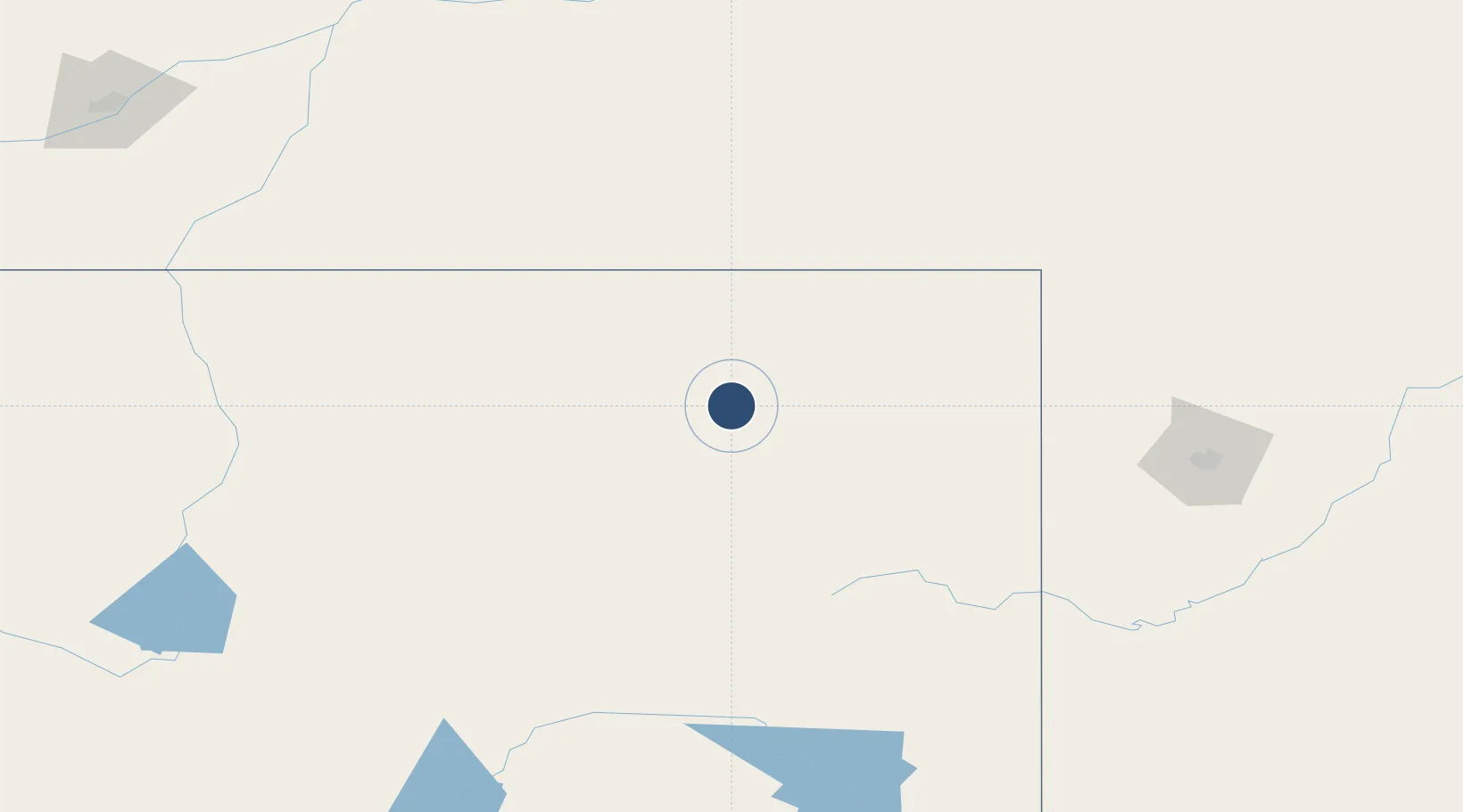
44.3489°, -105.5390°
7,501 ft
Longest runway
2
Runways
4,365 ft
Elevation

Runway & Layout

Northeast Wyoming Regional Airport runway & taxiway layout
Runway & taxiway layout — OpenStreetMap (ODbL) / OurAirports

Radio Frequencies

ASOS
124.175 MHz
TWR
118.5 MHz
GND
121.7 MHz
CTAF
118.5 MHz
CNTR
135.6 MHz
DENVER CNTR
RDO
122.3 MHz
CASPER RDO
UNIC
122.95 MHz
UNICOM
OurAirports

Runways · 2

RunwayDimensions SurfaceTrue headingLit
16/34 7,501 × 150ft Concrete 170°
03/21 5,804 × 75ft Concrete 038°
OurAirports

Airport Specifications

IATA code
GCC
OurAirports
ICAO code
KGCC
OurAirports
Airport class
Medium airport
OurAirports
Scheduled service
Yes
OurAirports
Runway surface
Concrete
OurAirports
Served city
Gillette
OurAirports

Location

Location of KGCC
Natural Earth 10m (public domain) · Wyoming · KGCC · 44.35, -105.54GoogleOSMYandex

Nearby Logistics Neighbours

Airports
  1. 1Sheridan County Airport123 km
  2. 2Casper-Natrona County International Airport177 km
  3. 3Ellsworth Air Force Base195 km
  4. 4Worland Municipal Airport197 km
  5. 5Rapid City Regional Airport201 km
Nearest neighbours — logibook spatial index (haversine) over the source coordinates
Cities
  1. 1Weston36 km
  2. 2Granby87 km
  3. 3Lead141 km
  4. 4Deadwood144 km
  5. 5Ten Sleep156 km
Nearest neighbours — logibook spatial index (haversine) over the source coordinates
Ports
  1. 1Duluth1079 km
  2. 2Superior1081 km
  3. 3Two Harbors1117 km
  4. 4Washburn1169 km
  5. 5Ashland1169 km
Nearest neighbours — logibook spatial index (haversine) over the source coordinates
Trade Zones
  1. 1FTZ No. 298 Jefferson County513 km
  2. 2FTZ No. 123 Denver514 km
  3. 3FTZ No. 088 Great Falls576 km
  4. 4FTZ No. 275 Lansing579 km
  5. 5FTZ No. 293 Limon586 km
Nearest neighbours — logibook spatial index (haversine) over the source coordinates
DatabookThe Record of Consolidated Knowledge
United States beyond logistics?
Browse databook

All Sources

AirportsOurAirports
Public domain
Portsthe NGA World Port Index
Public domain (US gov)
LocationsUN/LOCODE
UN/LOCODE — free
Trade Zonesthe World Bank SEZ database
CC BY 4.0
Trade ZonesOpen Zone Map
CC BY
InfrastructureOpenStreetMap
ODbL 1.0
← United States airports