UN/LOCODE hub · United States
USYSR
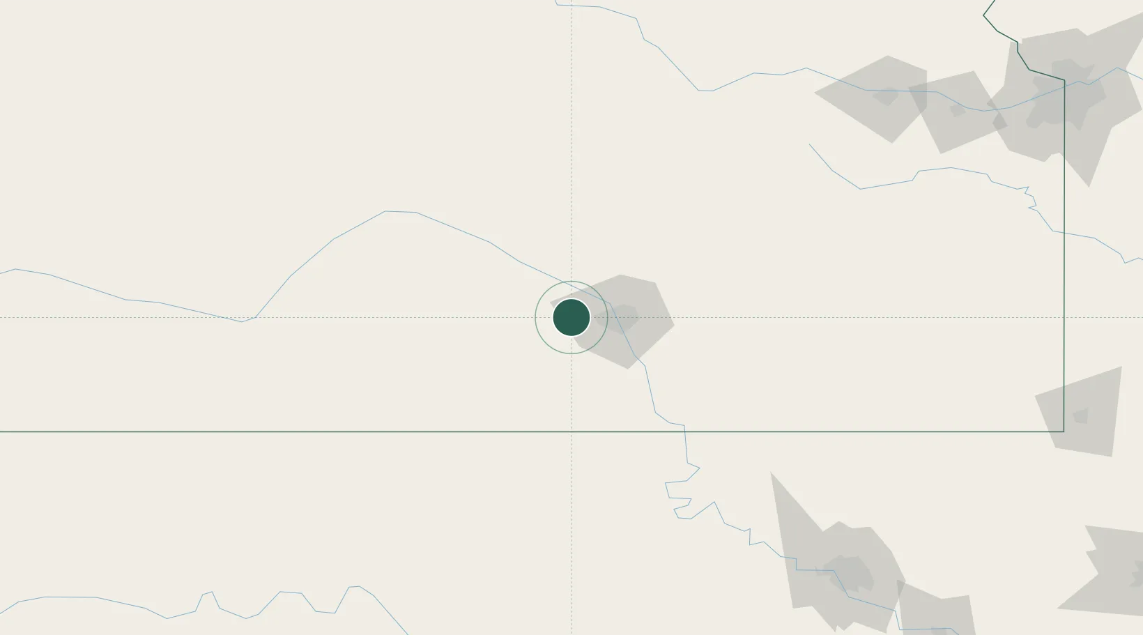
Saint Marys
37.7000°, -97.6333°
2,289
Population
2
Transport functions
Transport Functions
Road
Multimodal
Hub Profile
Place type
Populated place
Region
Kansas
Population
2,289
Time zone
America/Chicago
Elevation
461 m
Location
Nearby Logistics Neighbours
Ports
- 1Port Of Memphis729 km
- 2Beaumont908 km
- 3Deer Park909 km
- 4Houston910 km
- 5Pasadena915 km
Airports
Trade Zones
- 1FTZ No. 161 Sedgwick County11 km
- 2FTZ No. 053 Rogers County219 km
- 3FTZ No. 106 Oklahoma City248 km
- 4FTZ No. 015 Kansas City270 km
- 5FTZ No. 017 Kansas City287 km
DatabookThe Record of Consolidated Knowledge
United States beyond logistics?