UN/LOCODE hub · United States
USAXZ
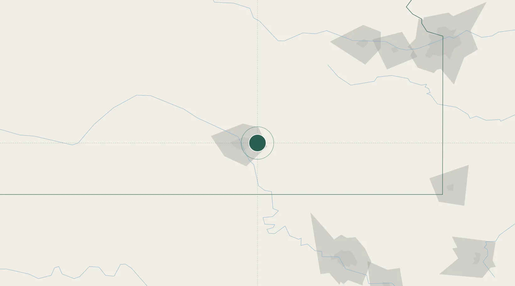
Andover
37.7000°, -97.1333°
12,745
Population
2
Transport functions
Transport Functions
Port
Multimodal
Hub Profile
Place type
Populated place
Region
Kansas
Population
12,745
Time zone
America/Chicago
Elevation
412 m
Location
Nearby Logistics Neighbours
Cities
- 1Towanda16 km
- 2Mulvane27 km
- 3Goddard39 km
- 4Saint Marys44 km
- 5Latham48 km
Ports
- 1Port Of Memphis689 km
- 2Beaumont892 km
- 3Deer Park900 km
- 4Houston900 km
- 5Orange903 km
Airports
Trade Zones
- 1FTZ No. 161 Sedgwick County55 km
- 2FTZ No. 053 Rogers County190 km
- 3FTZ No. 015 Kansas City233 km
- 4FTZ No. 106 Oklahoma City251 km
- 5FTZ No. 017 Kansas City252 km
DatabookThe Record of Consolidated Knowledge
United States beyond logistics?