Transport Functions
Rail
Road
Multimodal
Hub Profile
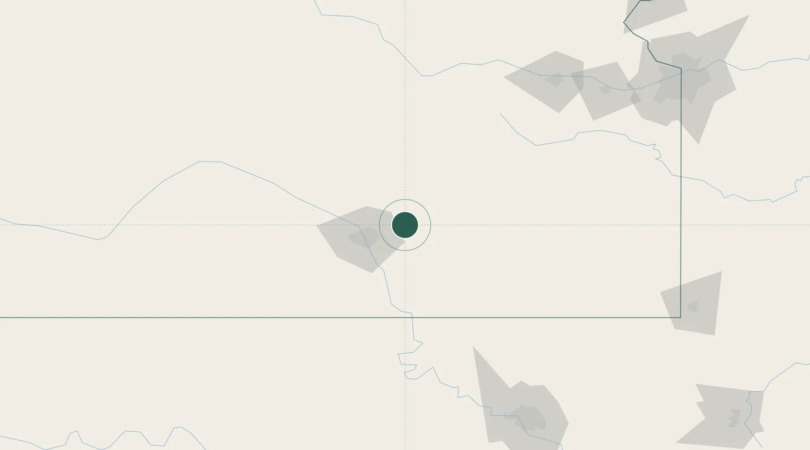
Place type
Populated place
Region
Kansas
Population
1,428
Time zone
America/Chicago
Elevation
394 m
Location
Nearby Logistics Neighbours
Ports
- 1Port Of Memphis683 km
- 2Beaumont899 km
- 3Deer Park908 km
- 4Houston909 km
- 5Orange909 km
Airports
Trade Zones
- 1FTZ No. 161 Sedgwick County68 km
- 2FTZ No. 053 Rogers County192 km
- 3FTZ No. 015 Kansas City217 km
- 4FTZ No. 017 Kansas City236 km
- 5FTZ No. 106 Oklahoma City263 km
DatabookThe Record of Consolidated Knowledge
United States beyond logistics?