Transport Functions
Multimodal
Fixed Transport
Hub Profile
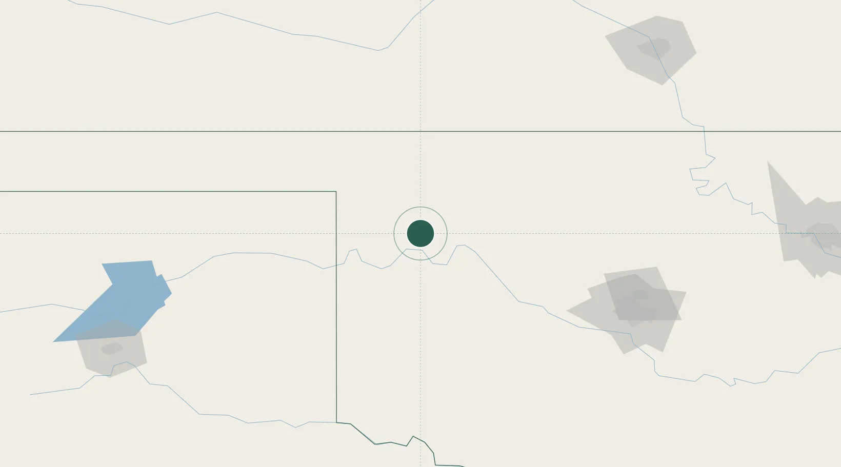
Place type
Populated place
Region
Oklahoma
Population
726
Time zone
America/Chicago
Elevation
690 m
Location
Nearby Logistics Neighbours
Airports
- 1West Woodward Airport38 km
- 2Vance Air Force Base126 km
- 3Hobart Regional Airport131 km
- 4Altus Air Force Base165 km
- 5OKC Will Rogers World Airport175 km
Trade Zones
- 1FTZ No. 106 Oklahoma City177 km
- 2FTZ No. 161 Sedgwick County220 km
- 3FTZ No. 252 Amarillo255 km
- 4FTZ No. 053 Rogers County310 km
- 5FTZ No. 164 Muskogee351 km
DatabookThe Record of Consolidated Knowledge
United States beyond logistics?