Transport Functions
Rail
Road
Hub Profile
Place type
Provincial seat
Region
Oklahoma
Population
3,008
Time zone
America/Chicago
Elevation
462 m
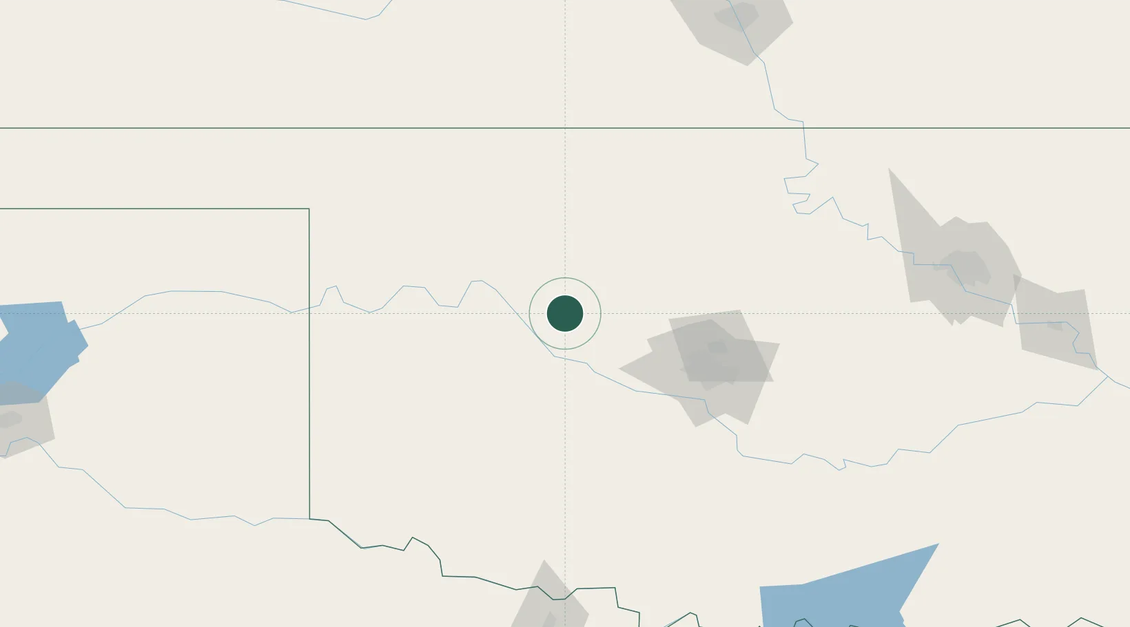
Location
Nearby Logistics Neighbours
Airports
- 1Vance Air Force Base71 km
- 2OKC Will Rogers World Airport90 km
- 3Tinker Air Force Base105 km
- 4Hobart Regional Airport112 km
- 5West Woodward Airport119 km
Trade Zones
- 1FTZ No. 106 Oklahoma City91 km
- 2FTZ No. 161 Sedgwick County213 km
- 3FTZ No. 053 Rogers County237 km
- 4FTZ No. 164 Muskogee269 km
- 5FTZ No. 227 Durant276 km
DatabookThe Record of Consolidated Knowledge
United States beyond logistics?