Medium airport · United States

Hobart Regional AirportKHBR

34.9913°, -99.0513°
5,507 ft
Longest runway
2
Runways
1,563 ft
Elevation

Runway & Layout

Hobart Regional Airport runway & taxiway layout
Runway & taxiway layout — OpenStreetMap (ODbL) / OurAirports

Radio Frequencies

ASOS
133.325 MHz
APP
125.1 MHz
ALTUS APP
DEP
125.1 MHz
ALTUS DEP
RDO
122.2 MHz
MC ALESTER RDO
UNIC
122.8 MHz
CTAF/UNICOM
OurAirports

Runways · 2

RunwayDimensions SurfaceTrue headingLit
17/35 5,507 × 100ft Asphalt 180°
03/21 2,975 × 60ft Asphalt 045°
OurAirports

Airport Specifications

IATA code
HBR
OurAirports
ICAO code
KHBR
OurAirports
Airport class
Medium airport
OurAirports
Scheduled service
No
OurAirports
Runway surface
Asphalt
OurAirports
Served city
Hobart
OurAirports

Location

Location of KHBR
Natural Earth 10m (public domain) · Oklahoma · KHBR · 34.99, -99.05GoogleOSMYandex

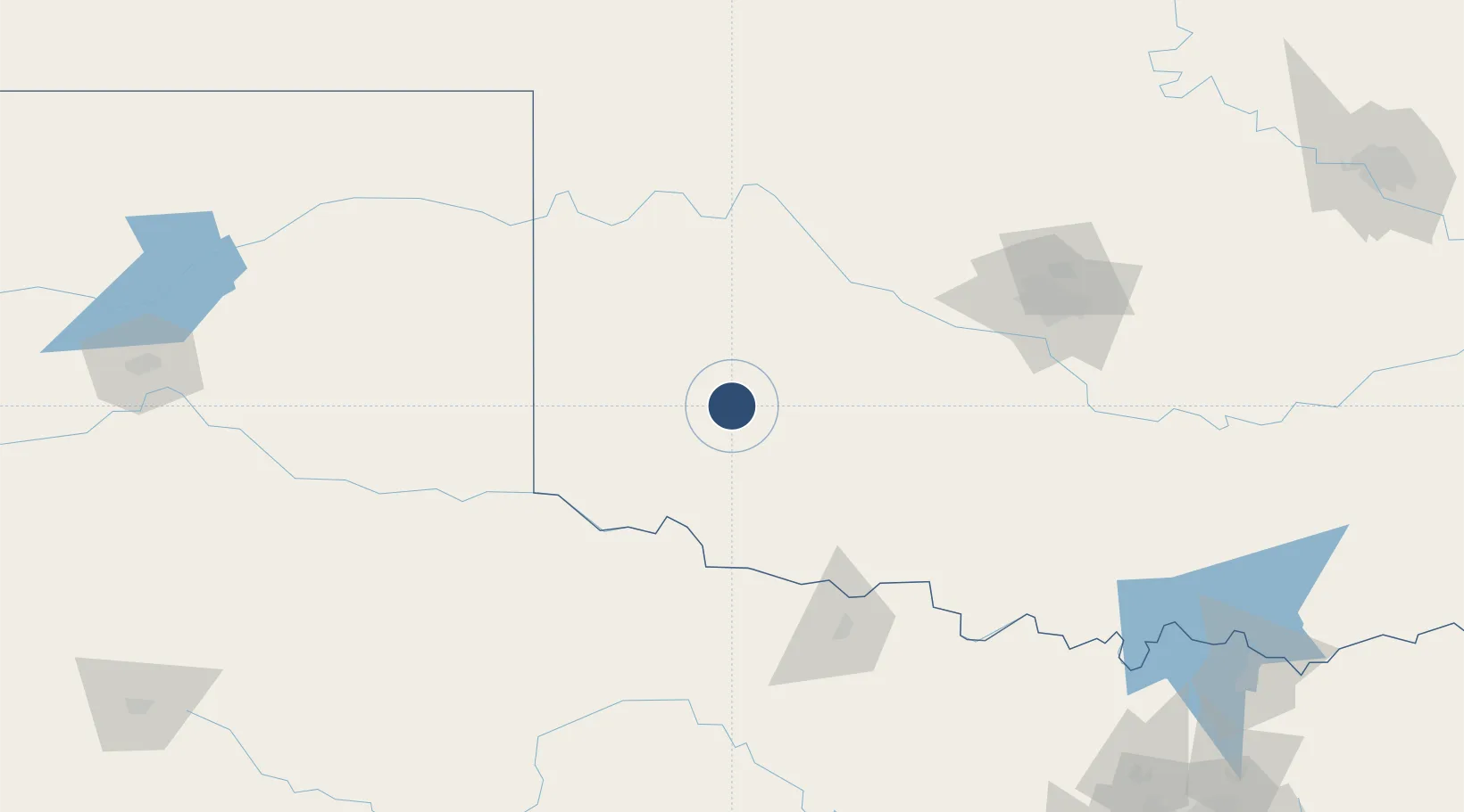
Nearby Logistics Neighbours

Airports
  1. 1Altus Air Force Base41 km
  2. 2Henry Post Army Air Field70 km
  3. 3Lawton Fort Sill Regional Airport75 km
  4. 4Wichita Falls Municipal Airport / Sheppard Air Force Base123 km
  5. 5Childress Municipal Airport129 km
Nearest neighbours — logibook spatial index (haversine) over the source coordinates
Cities
  1. 1Granite30 km
  2. 2Dill City33 km
  3. 3Willow41 km
  4. 4Carnegie43 km
  5. 5Cache55 km
Nearest neighbours — logibook spatial index (haversine) over the source coordinates
Ports
  1. 1Deer Park679 km
  2. 2Houston682 km
  3. 3Pasadena688 km
  4. 4Baytown697 km
  5. 5Beaumont717 km
Nearest neighbours — logibook spatial index (haversine) over the source coordinates
Trade Zones
  1. 1FTZ No. 106 Oklahoma City149 km
  2. 2FTZ No. 252 Amarillo258 km
  3. 3FTZ No. 039 Dallas Fort Worth266 km
  4. 4FTZ No. 227 Durant267 km
  5. 5FTZ No. 196 Fort Worth279 km
Nearest neighbours — logibook spatial index (haversine) over the source coordinates
DatabookThe Record of Consolidated Knowledge
United States beyond logistics?
Browse databook

All Sources

AirportsOurAirports
Public domain
Portsthe NGA World Port Index
Public domain (US gov)
LocationsUN/LOCODE
UN/LOCODE — free
Trade Zonesthe World Bank SEZ database
CC BY 4.0
Trade ZonesOpen Zone Map
CC BY
InfrastructureOpenStreetMap
ODbL 1.0
← United States airports