UN/LOCODE hub · United States
USOED
Mooreland
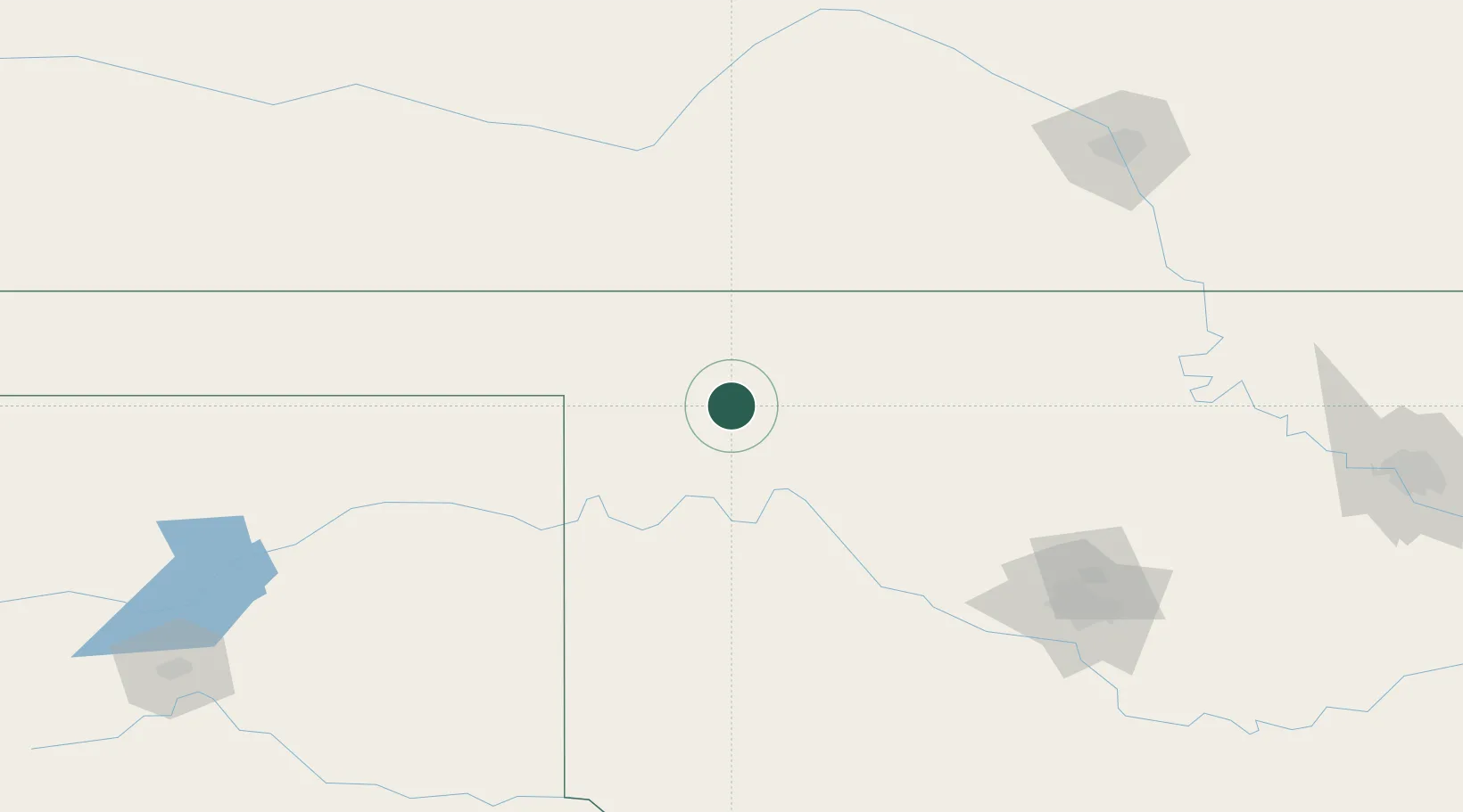
36.4500°, -99.2000°
1,282
Population
3
Transport functions
Transport Functions
Rail
Road
Multimodal
Hub Profile
Place type
Populated place
Region
Oklahoma
Population
1,282
Time zone
America/Chicago
Elevation
577 m
Location
Nearby Logistics Neighbours
Ports
- 1Deer Park827 km
- 2Port Of Memphis829 km
- 3Houston829 km
- 4Pasadena835 km
- 5Baytown842 km
Airports
- 1West Woodward Airport29 km
- 2Vance Air Force Base116 km
- 3Dodge City Regional Airport161 km
- 4Hobart Regional Airport163 km
- 5Liberal Mid-America Regional Airport170 km
Trade Zones
- 1FTZ No. 106 Oklahoma City186 km
- 2FTZ No. 161 Sedgwick County188 km
- 3FTZ No. 252 Amarillo278 km
- 4FTZ No. 053 Rogers County300 km
- 5FTZ No. 164 Muskogee347 km
DatabookThe Record of Consolidated Knowledge
United States beyond logistics?