Transport Functions
Port
Multimodal
Hub Profile
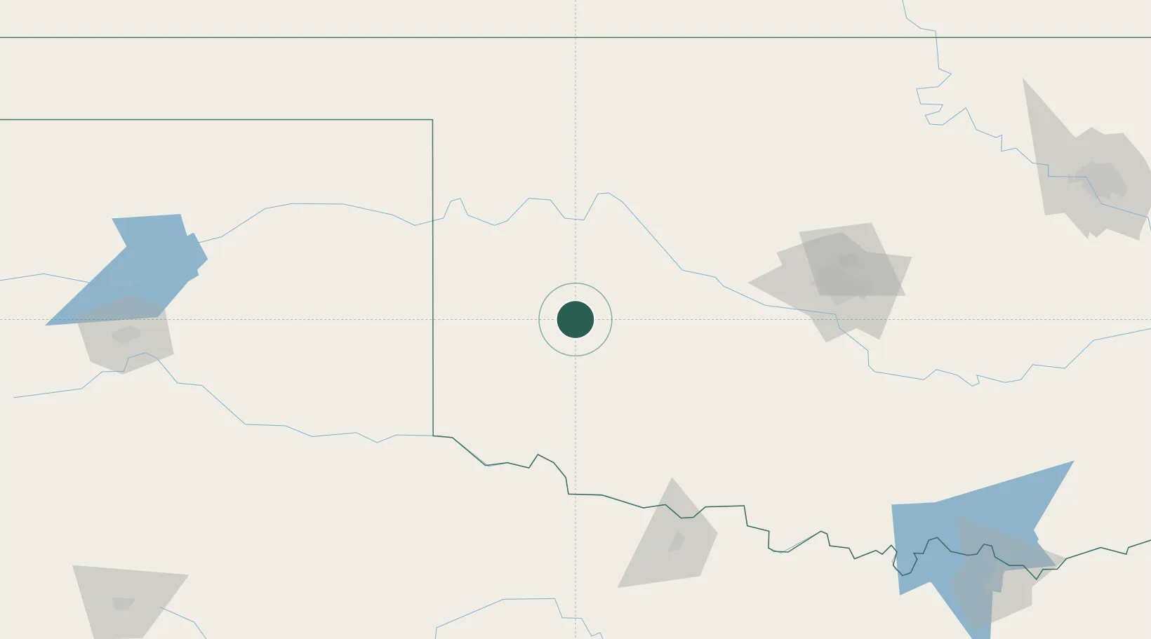
Place type
Populated place
Region
Oklahoma
Population
566
Time zone
America/Chicago
Elevation
565 m
Location
Nearby Logistics Neighbours
Airports
- 1Hobart Regional Airport33 km
- 2Altus Air Force Base70 km
- 3Henry Post Army Air Field97 km
- 4Lawton Fort Sill Regional Airport103 km
- 5West Woodward Airport133 km
Trade Zones
- 1FTZ No. 106 Oklahoma City148 km
- 2FTZ No. 252 Amarillo249 km
- 3FTZ No. 227 Durant288 km
- 4FTZ No. 161 Sedgwick County295 km
- 5FTZ No. 039 Dallas Fort Worth299 km
DatabookThe Record of Consolidated Knowledge
United States beyond logistics?