Transport Functions
Multimodal
Hub Profile
Place type
Populated place
Region
Texas
Population
494
Time zone
America/Chicago
Elevation
792 m
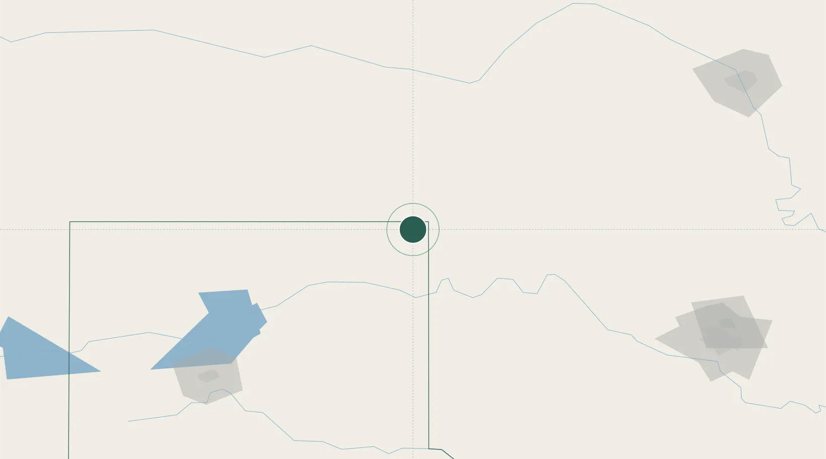
Location
Nearby Logistics Neighbours
Airports
- 1West Woodward Airport55 km
- 2Liberal Mid-America Regional Airport100 km
- 3Guymon Municipal Airport126 km
- 4Dodge City Regional Airport149 km
- 5Garden City Regional Airport174 km
Trade Zones
- 1FTZ No. 252 Amarillo208 km
- 2FTZ No. 161 Sedgwick County253 km
- 3FTZ No. 106 Oklahoma City258 km
- 4FTZ No. 260 Lubbock360 km
- 5FTZ No. 261 Alexandria360 km
DatabookThe Record of Consolidated Knowledge
United States beyond logistics?