Medium airport · United States
West Woodward AirportKWWR
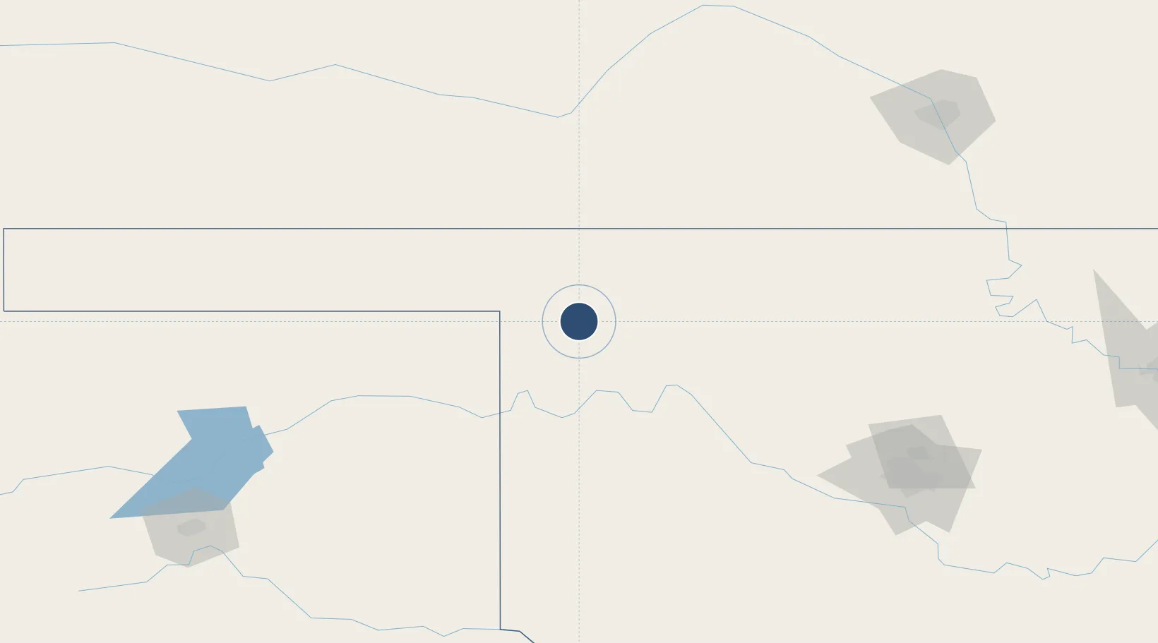
36.4380°, -99.5227°
5,502 ft
Longest runway
2
Runways
2,189 ft
Elevation
Runway & Layout

Radio Frequencies
AWOS
118.425 MHz
AWOS 3
CNTR
126.95 MHz
KANSAS CITY CNTR
UNIC
122.8 MHz
CTAF/UNICOM
Runways · 2
| Runway | Dimensions | Surface | True heading | Lit |
|---|---|---|---|---|
| 17/35 | 5,502 × 100ft | Concrete | 180° | ✓ |
| 05/23 | 2,500 × 60ft | Asphalt | 050° | ✓ |
Airport Specifications
IATA code
WWR
ICAO code
KWWR
Airport class
Medium airport
Scheduled service
No
Runway surface
Concrete
Served city
Woodward
Location
Nearby Logistics Neighbours
Airports
- 1Vance Air Force Base144 km
- 2Liberal Mid-America Regional Airport145 km
- 3Dodge City Regional Airport153 km
- 4Hobart Regional Airport166 km
- 5Guymon Municipal Airport179 km
Ports
- 1Deer Park840 km
- 2Houston842 km
- 3Pasadena848 km
- 4Baytown855 km
- 5Port Of Memphis858 km
Trade Zones
- 1FTZ No. 161 Sedgwick County210 km
- 2FTZ No. 106 Oklahoma City210 km
- 3FTZ No. 252 Amarillo253 km
- 4FTZ No. 053 Rogers County329 km
- 5FTZ No. 164 Muskogee375 km
DatabookThe Record of Consolidated Knowledge
United States beyond logistics?