UN/LOCODE hub · United States
USQIA
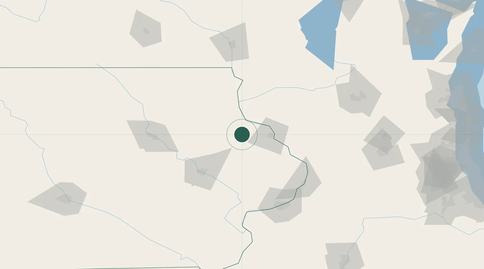
New Vienna
42.5333°, -91.1000°
424
Population
2
Transport functions
Transport Functions
Road
Multimodal
Hub Profile
Place type
Populated place
Region
Iowa
Population
424
Time zone
America/Chicago
Elevation
305 m
Location
Nearby Logistics Neighbours
Ports
- 1Milwaukee268 km
- 2Kenosha269 km
- 3Great Lakes269 km
- 4Waukegan270 km
- 5Racine272 km
Airports
Trade Zones
- 1FTZ No. 271 Jo-Daviess and Carroll Counties75 km
- 2FTZ No. 175 Cedar Rapids86 km
- 3FTZ No. 266 Dane County129 km
- 4FTZ No. 176 Rockford159 km
- 5FTZ No. 055 Burlington192 km
DatabookThe Record of Consolidated Knowledge
United States beyond logistics?