UN/LOCODE hub · United States
USURT

Duart

34.7833°, -78.8167°
2
Transport functions

Transport Functions

Road
Multimodal
UN/LOCODE

Hub Profile

Place type
Populated place
GeoNames
Region
North Carolina
GeoNames
Time zone
America/New_York
GeoNames
Elevation
42 m
GeoNames

Location

Location of USURT
Natural Earth 10m (public domain) · North Carolina · USURT · 34.78, -78.82GoogleOSMYandex

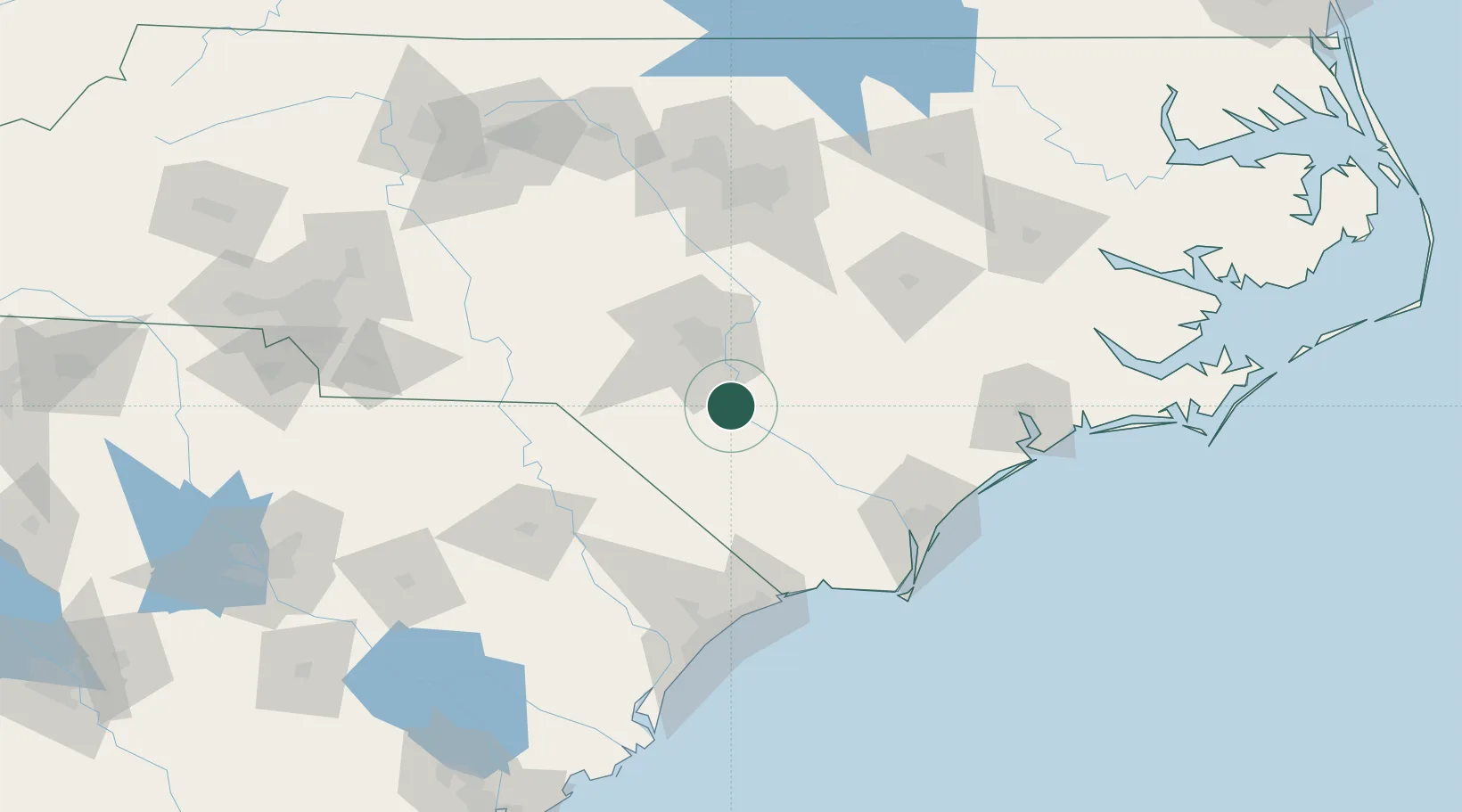
Nearby Logistics Neighbours

Cities
  1. 1Tar Heel6 km
  2. 2Parkton21 km
  3. 3Stedman28 km
  4. 4Roseboro34 km
  5. 5Spring Lake45 km
Nearest neighbours — logibook spatial index (haversine) over the source coordinates
Ports
  1. 1Wilmington100 km
  2. 2Wrightsville111 km
  3. 3Southport121 km
  4. 4Georgetown163 km
  5. 5New Bern165 km
Nearest neighbours — logibook spatial index (haversine) over the source coordinates
Airports
  1. 1Fayetteville Regional Airport - Grannis Field24 km
  2. 2Lumberton Regional Airport29 km
  3. 3Simmons Army Air Field40 km
  4. 4Pope Field47 km
  5. 5Johnston Regional Airport93 km
Nearest neighbours — logibook spatial index (haversine) over the source coordinates
Trade Zones
  1. 1FTZ No. 214 Lenoir County97 km
  2. 2FTZ No. 093 Raleigh Durham125 km
  3. 3FTZ No. 230 Piedmont Triad Area198 km
  4. 4FTZ No. 057 Mecklenburg County213 km
  5. 5FTZ No. 127 West Columbia230 km
Nearest neighbours — logibook spatial index (haversine) over the source coordinates
DatabookThe Record of Consolidated Knowledge
United States beyond logistics?
Browse databook

All Sources

LocationsUN/LOCODE
UN/LOCODE — free
Portsthe NGA World Port Index
Public domain (US gov)
AirportsOurAirports
Public domain
Trade Zonesthe World Bank SEZ database
CC BY 4.0
Trade ZonesOpen Zone Map
CC BY
← United States locations