Transport Functions
Port
Rail
Road
Hub Profile
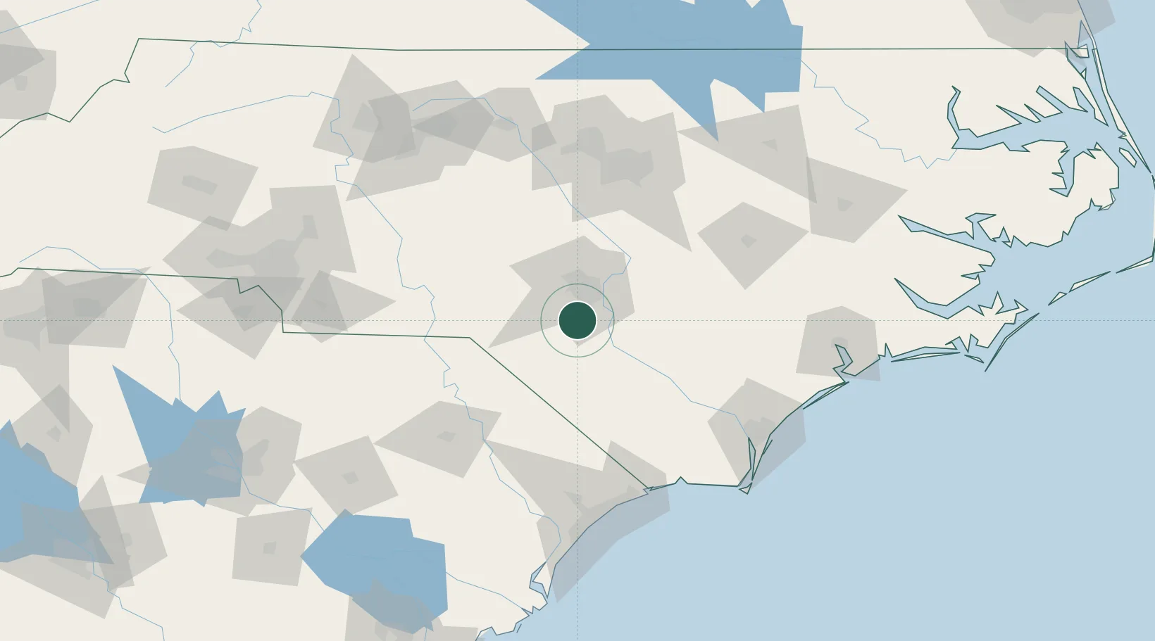
Place type
Populated place
Region
North Carolina
Population
439
Time zone
America/New_York
Elevation
57 m
Location
Nearby Logistics Neighbours
Cities
- 1Duart21 km
- 2Tar Heel27 km
- 3Spring Lake30 km
- 4Stedman30 km
- 5Roseboro46 km
Ports
- 1Wilmington121 km
- 2Wrightsville132 km
- 3Southport142 km
- 4Georgetown173 km
- 5New Bern179 km
Airports
Trade Zones
- 1FTZ No. 214 Lenoir County107 km
- 2FTZ No. 093 Raleigh Durham112 km
- 3FTZ No. 230 Piedmont Triad Area177 km
- 4FTZ No. 057 Mecklenburg County194 km
- 5FTZ No. 127 West Columbia220 km
DatabookThe Record of Consolidated Knowledge
United States beyond logistics?