UN/LOCODE hub · United States
USSL3
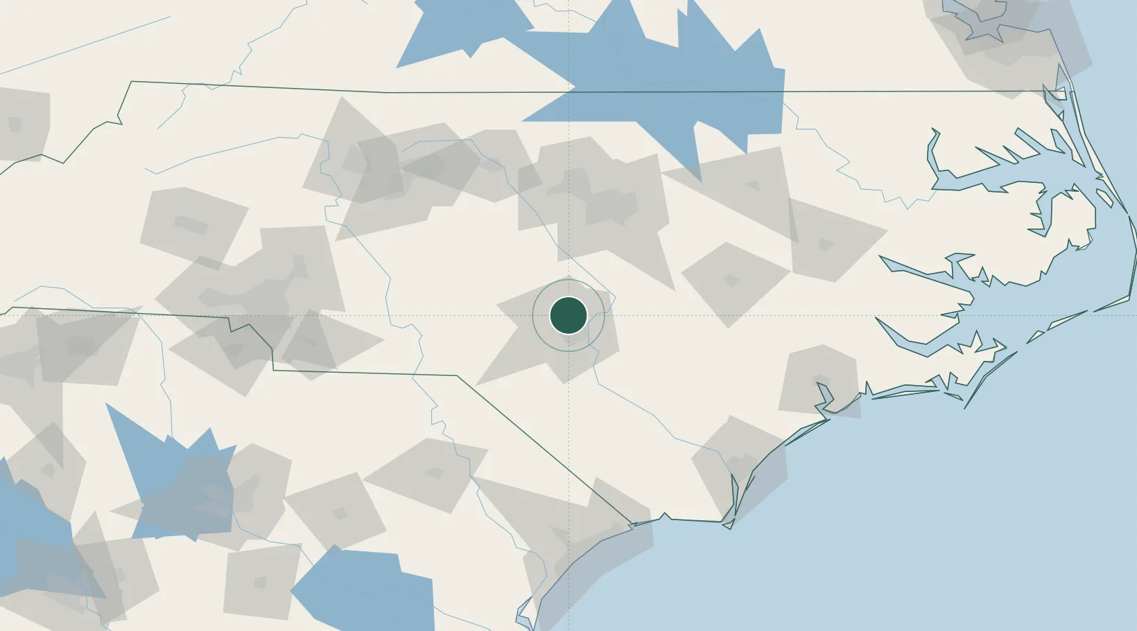
Spring Lake
35.1667°, -78.9667°
13,234
Population
3
Transport functions
Transport Functions
Rail
Road
Multimodal
Hub Profile
Place type
Populated place
Region
North Carolina
Population
13,234
Time zone
America/New_York
Elevation
84 m
Location
Nearby Logistics Neighbours
Ports
- 1Wilmington139 km
- 2Wrightsville149 km
- 3Southport164 km
- 4New Bern175 km
- 5Washington179 km
Airports
Trade Zones
DatabookThe Record of Consolidated Knowledge
United States beyond logistics?