Medium airport · United States

Johnston Regional AirportKJNX
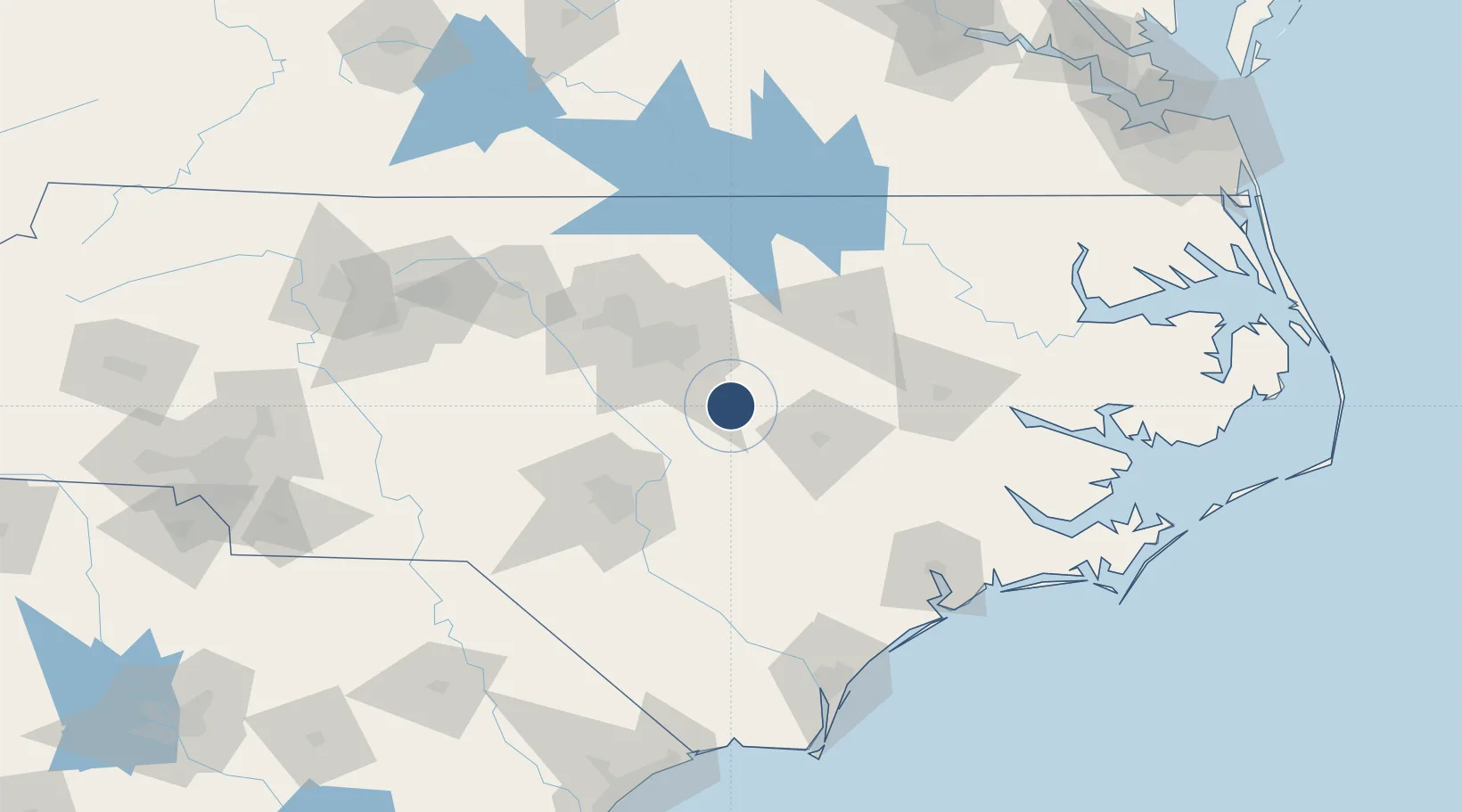
35.5409°, -78.3903°
5,500 ft
Longest runway
1
Runways
164 ft
Elevation

Runway & Layout

Johnston Regional Airport runway & taxiway layout
Runway & taxiway layout — OpenStreetMap (ODbL) / OurAirports

Radio Frequencies

A/D
125.3 MHz
RALEIGH APP/DEP
UNIC
122.8 MHz
CTAF/UNICOM
OurAirports

Runways · 1

RunwayDimensions SurfaceTrue headingLit
03/21 5,500 × 100ft Asphalt 030°
OurAirports

Airport Specifications

ICAO code
KJNX
OurAirports
Airport class
Medium airport
OurAirports
Scheduled service
No
OurAirports
Runway surface
Asphalt
OurAirports
Served city
Smithfield
OurAirports

Location

Location of KJNX
Natural Earth 10m (public domain) · North Carolina · KJNX · 35.54, -78.39GoogleOSMYandex

Nearby Logistics Neighbours

Airports
  1. 1Seymour Johnson Air Force Base45 km
  2. 2Raleigh-Durham International Airport52 km
  3. 3Rocky Mount Wilson Regional Airport57 km
  4. 4Simmons Army Air Field67 km
  5. 5Pope Field70 km
Nearest neighbours — logibook spatial index (haversine) over the source coordinates
Cities
  1. 1Four Oaks12 km
  2. 2Pine Level, Johnston13 km
  3. 3Kenly24 km
  4. 4Garner26 km
  5. 5Knightdale28 km
Nearest neighbours — logibook spatial index (haversine) over the source coordinates
Ports
  1. 1Washington121 km
  2. 2New Bern131 km
  3. 3Wilmington151 km
  4. 4Plymouth153 km
  5. 5Wrightsville156 km
Nearest neighbours — logibook spatial index (haversine) over the source coordinates
Trade Zones
  1. 1FTZ No. 214 Lenoir County58 km
  2. 2FTZ No. 093 Raleigh Durham62 km
  3. 3FTZ No. 230 Piedmont Triad Area174 km
  4. 4FTZ No. 020 Suffolk223 km
  5. 5FTZ No. 207 Richmond233 km
Nearest neighbours — logibook spatial index (haversine) over the source coordinates
DatabookThe Record of Consolidated Knowledge
United States beyond logistics?
Browse databook

All Sources

AirportsOurAirports
Public domain
Portsthe NGA World Port Index
Public domain (US gov)
LocationsUN/LOCODE
UN/LOCODE — free
Trade Zonesthe World Bank SEZ database
CC BY 4.0
Trade ZonesOpen Zone Map
CC BY
InfrastructureOpenStreetMap
ODbL 1.0
← United States airports