Transport Functions
Rail
Road
Multimodal
Hub Profile
Place type
Populated place
Region
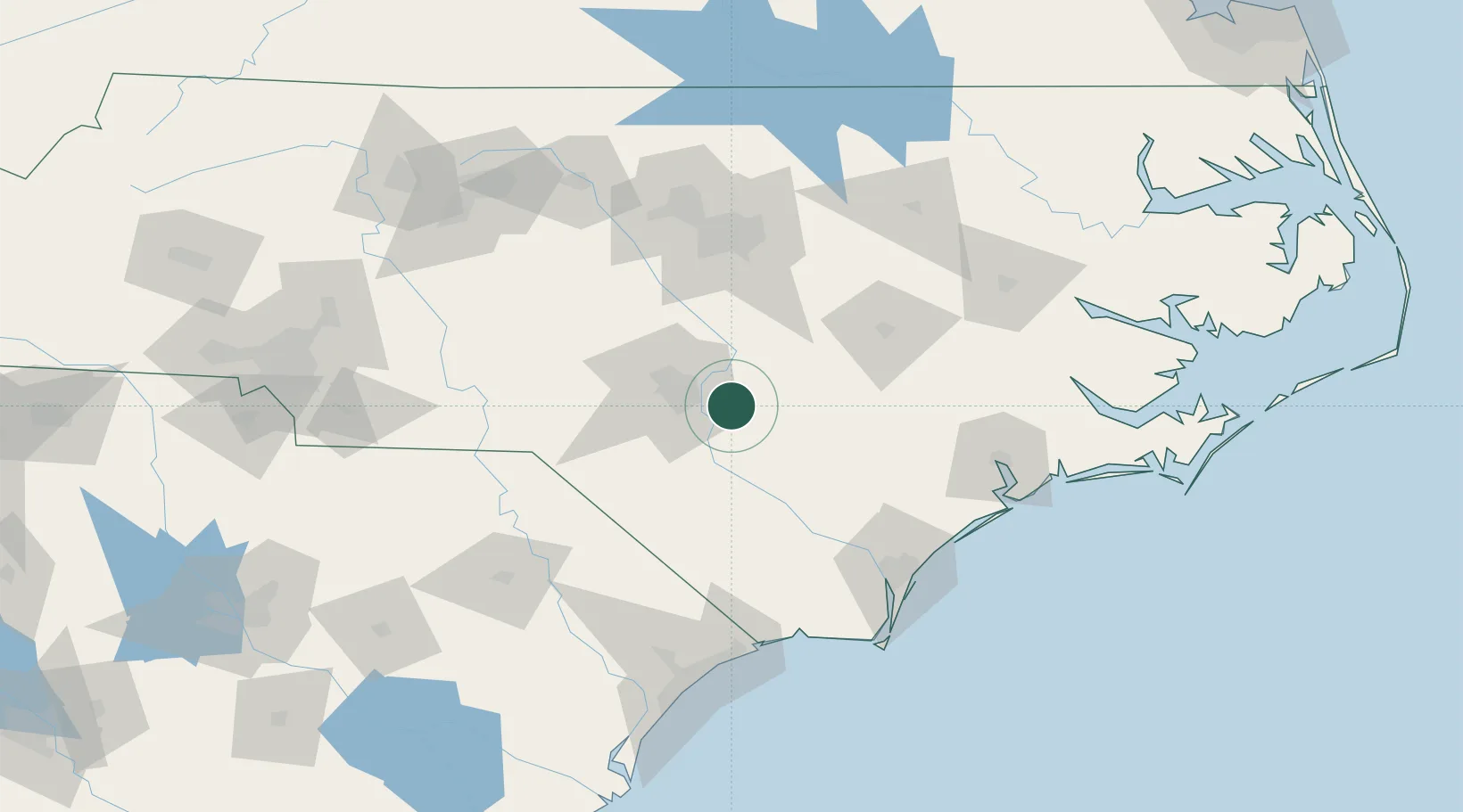
North Carolina
Population
1,045
Time zone
America/New_York
Elevation
38 m
Location
Nearby Logistics Neighbours
Cities
- 1Roseboro20 km
- 2Duart28 km
- 3Spring Lake29 km
- 4Parkton30 km
- 5Tar Heel32 km
Ports
- 1Wilmington111 km
- 2Wrightsville120 km
- 3Southport137 km
- 4New Bern151 km
- 5Washington161 km
Airports
Trade Zones
DatabookThe Record of Consolidated Knowledge
United States beyond logistics?