Transport Functions
Rail
Road
Hub Profile
Place type
Populated place
Region
Utah
Population
1,029
Time zone
America/Denver
Elevation
1,585 m
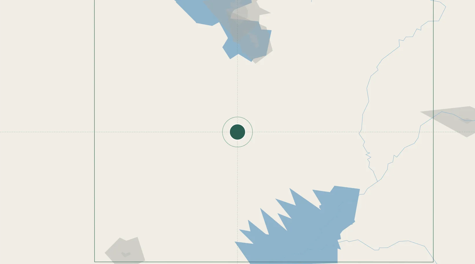
Location
Nearby Logistics Neighbours
Cities
- 1Sigurd10 km
- 2Kanosh45 km
- 3Levan73 km
- 4Moroni75 km
- 5Circleville88 km
Ports
- 1Newport Beach796 km
- 2Long Beach800 km
- 3El Segundo804 km
- 4Los Angeles806 km
- 5Stockton823 km
Airports
- 1Bryce Canyon Airport136 km
- 2Provo Municipal Airport146 km
- 3Cedar City Regional Airport169 km
- 4South Valley Regional Airport189 km
- 5Canyonlands Regional Airport190 km
Trade Zones
- 1FTZ No. 030 Salt Lake City207 km
- 2FTZ No. 170 Clark County496 km
- 3FTZ No. 089 Clark County496 km
- 4FTZ No. 298 Jefferson County590 km
- 5FTZ No. 277 Western Maricopa County599 km
DatabookThe Record of Consolidated Knowledge
United States beyond logistics?