Medium airport · United States

South Valley Regional AirportKU42

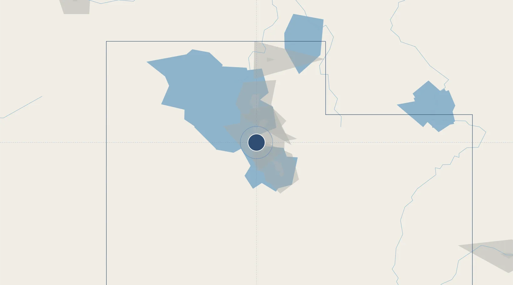
40.6195°, -111.9930°
5,862 ft
Longest runway
1
Runways
4,607 ft
Elevation

Runway & Layout

South Valley Regional Airport runway & taxiway layout
Runway & taxiway layout — OpenStreetMap (ODbL) / OurAirports

Radio Frequencies

AWOS
134.425 MHz
AWOS 3
CLD
127 MHz
CLNC DEL
A/D
120.2 MHz
APP/DEP
OPS
49.65 MHz
ARNG OPS
UNIC
122.7 MHz
CTAF/UNICOM
OurAirports

Runways · 1

RunwayDimensions SurfaceTrue headingLit
16/34 5,862 × 100ft Asphalt 172°
OurAirports

Airport Specifications

ICAO code
KSVR
OurAirports
Airport class
Medium airport
OurAirports
Scheduled service
No
OurAirports
Runway surface
Asphalt
OurAirports
Served city
Salt Lake City
OurAirports

Location

Location of KU42
Natural Earth 10m (public domain) · Utah · KU42 · 40.62, -111.99GoogleOSMYandex

Nearby Logistics Neighbours

Airports
  1. 1Salt Lake City International Airport19 km
  2. 2Provo Municipal Airport50 km
  3. 3Hill Air Force Base56 km
  4. 4Ogden Hinckley Airport64 km
  5. 5Evanston-Uinta County Airport-Burns Field109 km
Nearest neighbours — logibook spatial index (haversine) over the source coordinates
Cities
  1. 1West Jordan4 km
  2. 2West Valley City10 km
  3. 3South Jordan10 km
  4. 4Riverton11 km
  5. 5South Salt Lake14 km
Nearest neighbours — logibook spatial index (haversine) over the source coordinates
Ports
  1. 1Sacramento845 km
  2. 2Stockton854 km
  3. 3Walnut Grove859 km
  4. 4Courtland860 km
  5. 5Isleton869 km
Nearest neighbours — logibook spatial index (haversine) over the source coordinates
Trade Zones
  1. 1FTZ No. 030 Salt Lake City18 km
  2. 2FTZ No. 280 Ada and Canyon Counties527 km
  3. 3FTZ No. 298 Jefferson County589 km
  4. 4FTZ No. 274 Butte-Silver Bow593 km
  5. 5FTZ No. 275 Lansing601 km
Nearest neighbours — logibook spatial index (haversine) over the source coordinates
DatabookThe Record of Consolidated Knowledge
United States beyond logistics?
Browse databook

All Sources

AirportsOurAirports
Public domain
Portsthe NGA World Port Index
Public domain (US gov)
LocationsUN/LOCODE
UN/LOCODE — free
Trade Zonesthe World Bank SEZ database
CC BY 4.0
Trade ZonesOpen Zone Map
CC BY
InfrastructureOpenStreetMap
ODbL 1.0
← United States airports