Transport Functions
Road
Multimodal
Hub Profile
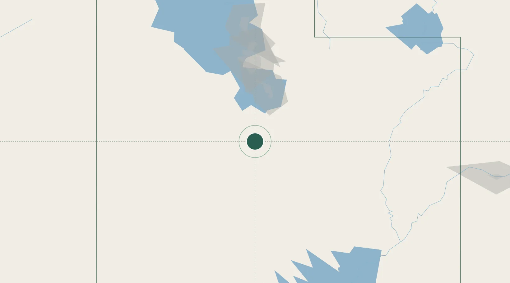
Place type
Populated place
Region
Utah
Population
871
Time zone
America/Denver
Elevation
1,620 m
Location
Nearby Logistics Neighbours
Ports
- 1Stockton837 km
- 2Sacramento838 km
- 3Walnut Grove848 km
- 4Courtland850 km
- 5Newport Beach853 km
Airports
- 1Provo Municipal Airport74 km
- 2South Valley Regional Airport118 km
- 3Salt Lake City International Airport136 km
- 4Hill Air Force Base173 km
- 5Ogden Hinckley Airport182 km
Trade Zones
- 1FTZ No. 030 Salt Lake City135 km
- 2FTZ No. 170 Clark County550 km
- 3FTZ No. 089 Clark County550 km
- 4FTZ No. 298 Jefferson County575 km
- 5FTZ No. 123 Denver589 km
DatabookThe Record of Consolidated Knowledge
United States beyond logistics?