Medium airport · United States
Provo Municipal AirportKPVU
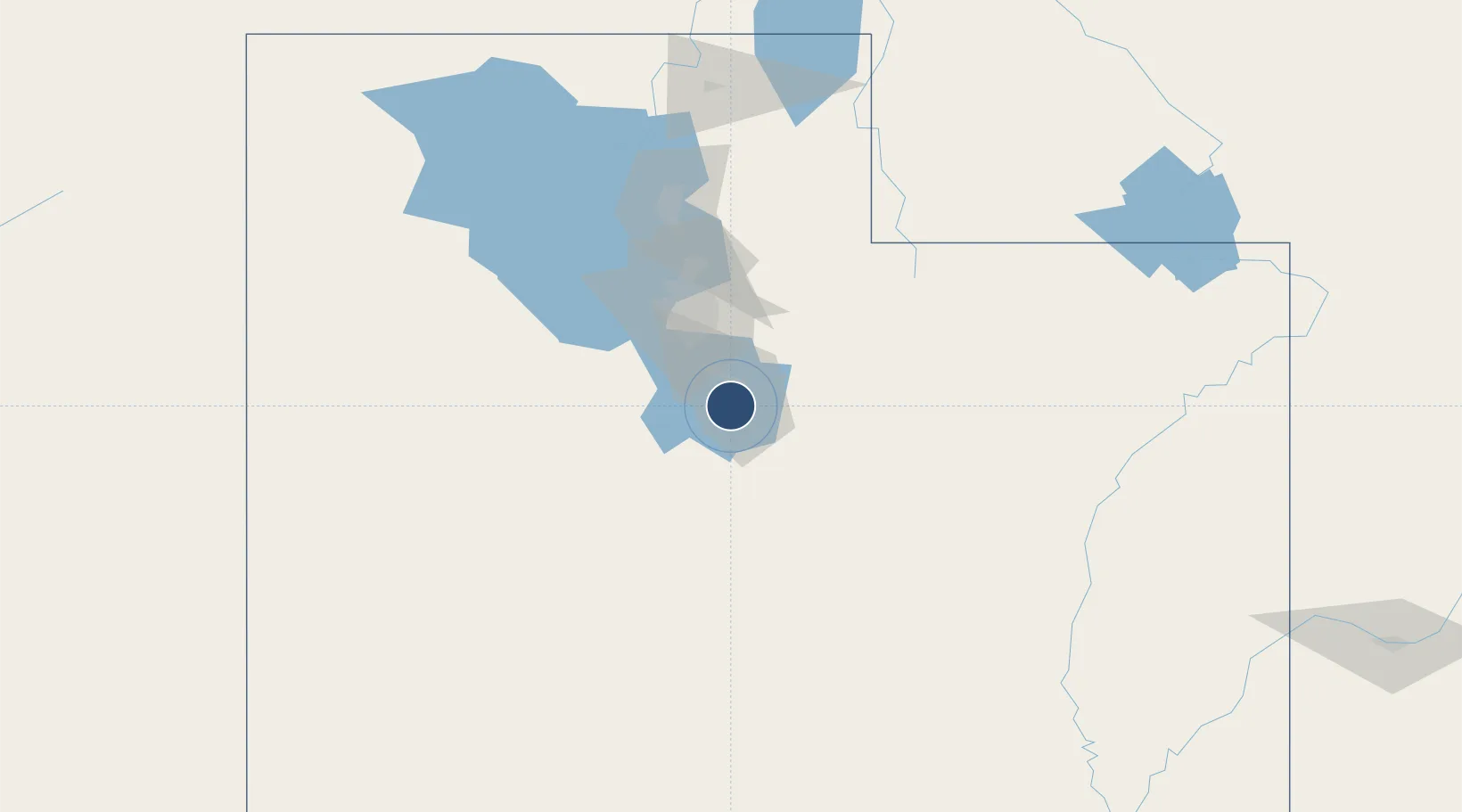
40.2189°, -111.7224°
8,603 ft
Longest runway
2
Runways
4,497 ft
Elevation
Runway & Layout

Radio Frequencies
ATIS
135.175 MHz
AWOS
135.175 MHz
AWOS 3
TWR
125.3 MHz
GND
119.4 MHz
APP
124.3 MHz
SALT LAKE CITY APP
DEP
118.85 MHz
SALT LAKE CITY DEP
UNIC
125.3 MHz
CTAF/UNICOM
Runways · 2
| Runway | Dimensions | Surface | True heading | Lit |
|---|---|---|---|---|
| 13/31 | 8,603 × 150ft | Asphalt | 146° | ✓ |
| 18/36 | 6,628 × 150ft | Asphalt | 192° | ✓ |
Airport Specifications
IATA code
PVU
ICAO code
KPVU
Airport class
Medium airport
Scheduled service
Yes
Runway surface
Asphalt
Served city
Provo
Location
Nearby Logistics Neighbours
Airports
Cities
- 1Vineyard11 km
- 2Salem19 km
- 3Cedar Hills20 km
- 4Draper34 km
- 5Bluffdale34 km
Ports
- 1Sacramento859 km
- 2Stockton864 km
- 3Walnut Grove872 km
- 4Courtland872 km
- 5Isleton881 km
Trade Zones
- 1FTZ No. 030 Salt Lake City66 km
- 2FTZ No. 298 Jefferson County562 km
- 3FTZ No. 280 Ada and Canyon Counties573 km
- 4FTZ No. 123 Denver576 km
- 5FTZ No. 112 Colorado Springs611 km
DatabookThe Record of Consolidated Knowledge
United States beyond logistics?