Transport Functions
Rail
Road
Multimodal
Hub Profile
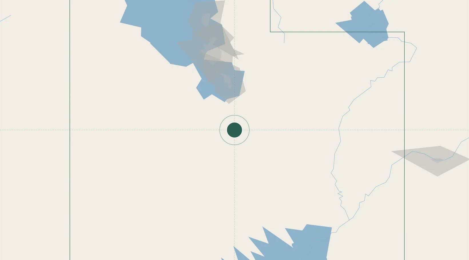
Place type
Populated place
Region
Utah
Population
1,451
Time zone
America/Denver
Elevation
1,686 m
Location
Nearby Logistics Neighbours
Ports
- 1Stockton860 km
- 2Sacramento862 km
- 3Newport Beach866 km
- 4Long Beach870 km
- 5Walnut Grove871 km
Airports
- 1Provo Municipal Airport77 km
- 2South Valley Regional Airport126 km
- 3Salt Lake City International Airport144 km
- 4Canyonlands Regional Airport180 km
- 5Hill Air Force Base180 km
Trade Zones
- 1FTZ No. 030 Salt Lake City143 km
- 2FTZ No. 298 Jefferson County551 km
- 3FTZ No. 170 Clark County564 km
- 4FTZ No. 089 Clark County564 km
- 5FTZ No. 123 Denver565 km
DatabookThe Record of Consolidated Knowledge
United States beyond logistics?