Transport Functions
Road
Multimodal
Hub Profile
Region
WV
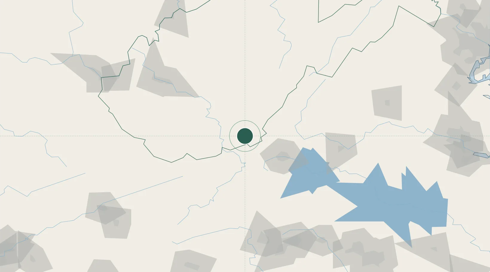
Location
Nearby Logistics Neighbours
Cities
- 1Renick23 km
- 2Norcross30 km
- 3Rich Creek34 km
- 4Narrows36 km
- 5Rainelle47 km
Ports
- 1Richmond275 km
- 2Fredericksburg282 km
- 3West Point329 km
- 4Alexandria334 km
- 5Washington D.C.337 km
Airports
Trade Zones
- 1FTZ No. 238 Dublin56 km
- 2FTZ No. 229 Charleston134 km
- 3FTZ No. 230 Piedmont Triad Area159 km
- 4FTZ No. 204 Tri-Cities207 km
- 5FTZ No. 093 Raleigh Durham236 km
DatabookThe Record of Consolidated Knowledge
United States beyond logistics?