Transport Functions
Rail
Road
Hub Profile
Place type
Populated place
Region
Virginia
Population
1,953
Time zone
America/New_York
Elevation
471 m
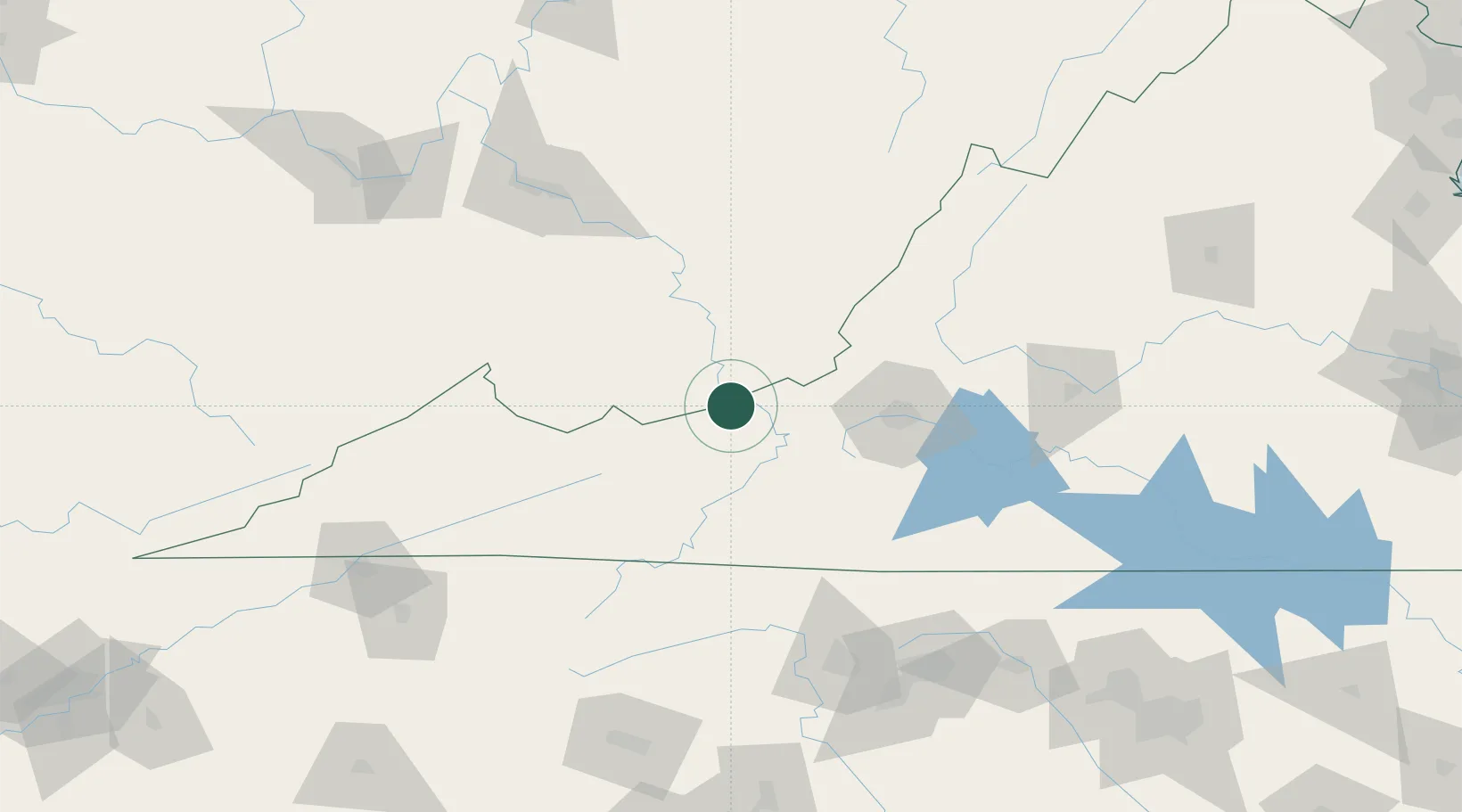
Location
Nearby Logistics Neighbours
Cities
- 1Rich Creek6 km
- 2Norcross9 km
- 3Union, Monroe36 km
- 4Bluefield39 km
- 5Hiwassee42 km
Ports
- 1Richmond300 km
- 2Fredericksburg313 km
- 3West Point354 km
- 4Alexandria368 km
- 5Washington D.C.371 km
Airports
Trade Zones
- 1FTZ No. 238 Dublin28 km
- 2FTZ No. 229 Charleston138 km
- 3FTZ No. 230 Piedmont Triad Area140 km
- 4FTZ No. 204 Tri-Cities172 km
- 5FTZ No. 093 Raleigh Durham232 km
DatabookThe Record of Consolidated Knowledge
United States beyond logistics?