UN/LOCODE hub · United States
USRHK
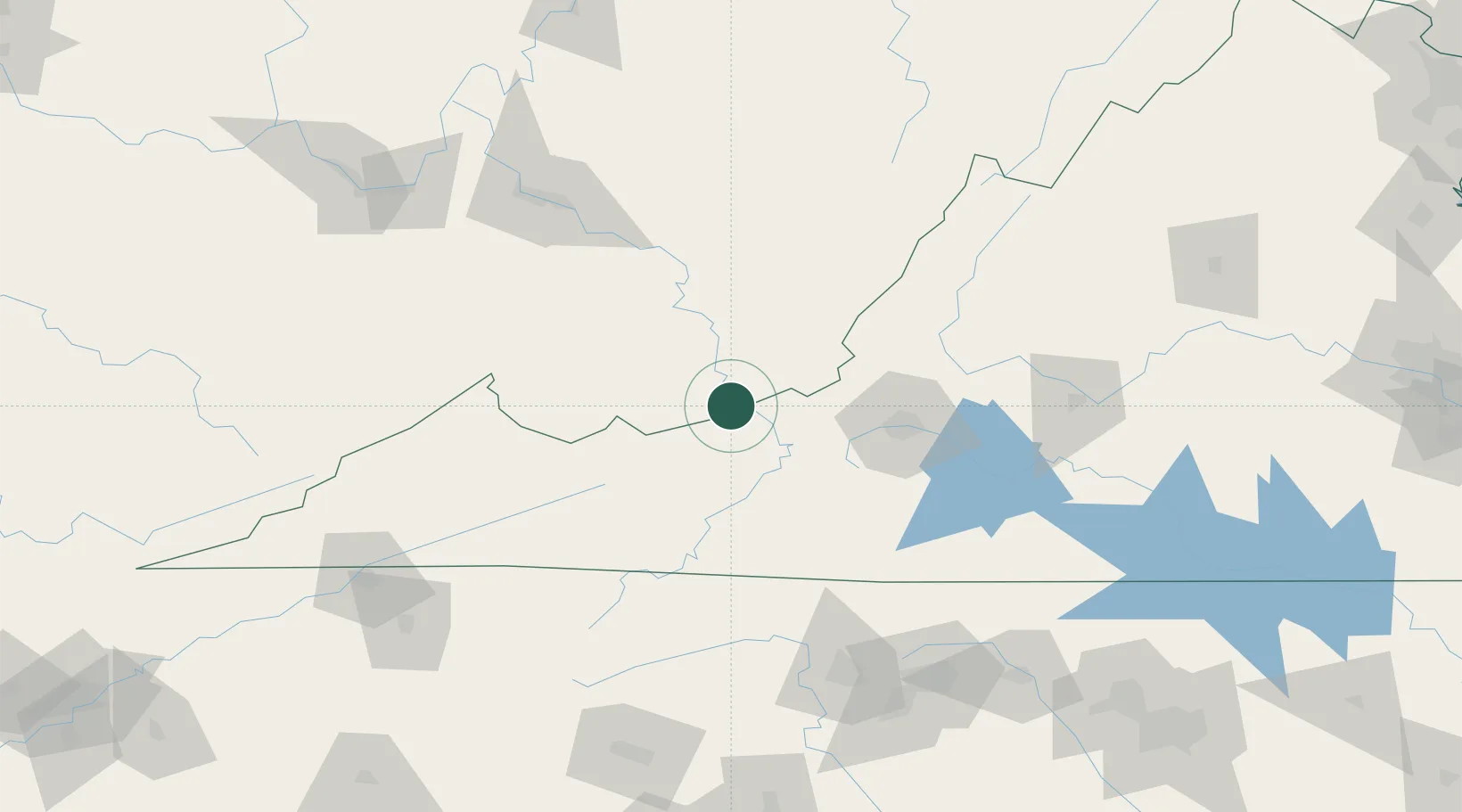
Rich Creek
37.3833°, -80.8167°
748
Population
2
Transport functions
Transport Functions
Road
Multimodal
Hub Profile
Place type
Populated place
Region
Virginia
Population
748
Time zone
America/New_York
Elevation
468 m
Location
Nearby Logistics Neighbours
Cities
- 1Narrows6 km
- 2Norcross11 km
- 3Union, Monroe34 km
- 4Bluefield40 km
- 5Bluefield44 km
Ports
- 1Richmond301 km
- 2Fredericksburg313 km
- 3West Point355 km
- 4Alexandria367 km
- 5Washington D.C.370 km
Airports
Trade Zones
- 1FTZ No. 238 Dublin33 km
- 2FTZ No. 229 Charleston133 km
- 3FTZ No. 230 Piedmont Triad Area145 km
- 4FTZ No. 204 Tri-Cities174 km
- 5FTZ No. 093 Raleigh Durham237 km
DatabookThe Record of Consolidated Knowledge
United States beyond logistics?