Transport Functions
Port
Rail
Road
Multimodal
Hub Profile
Place type
Populated place
Region
Virginia
Time zone
America/New_York
Elevation
483 m
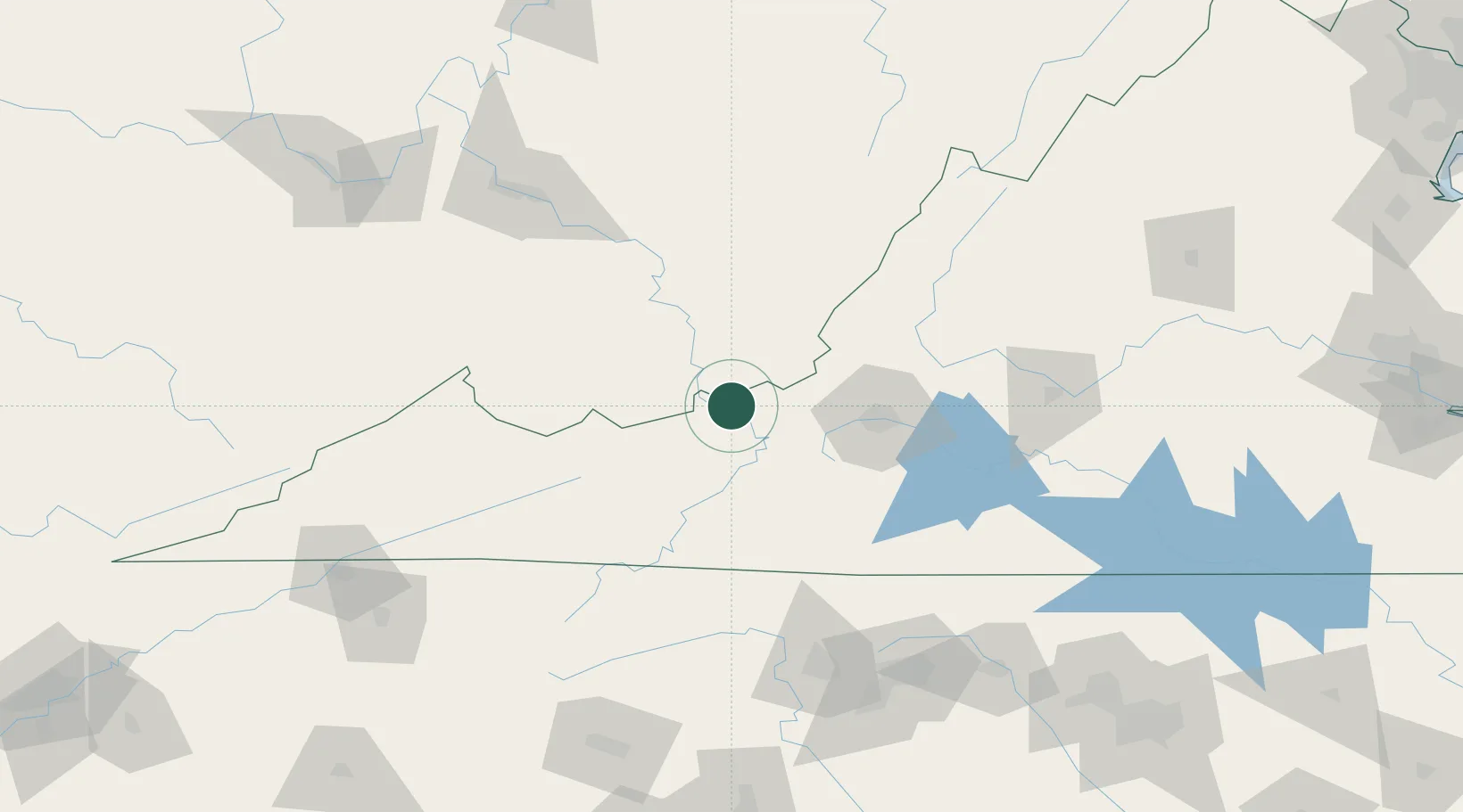
Location
Nearby Logistics Neighbours
Cities
- 1Narrows9 km
- 2Rich Creek11 km
- 3Union, Monroe30 km
- 4Renick36 km
- 5Hiwassee43 km
Ports
- 1Richmond291 km
- 2Fredericksburg304 km
- 3West Point345 km
- 4Alexandria359 km
- 5Washington D.C.362 km
Airports
Trade Zones
- 1FTZ No. 238 Dublin28 km
- 2FTZ No. 230 Piedmont Triad Area138 km
- 3FTZ No. 229 Charleston142 km
- 4FTZ No. 204 Tri-Cities180 km
- 5FTZ No. 093 Raleigh Durham227 km
DatabookThe Record of Consolidated Knowledge
United States beyond logistics?