UN/LOCODE hub · United States
USRNU
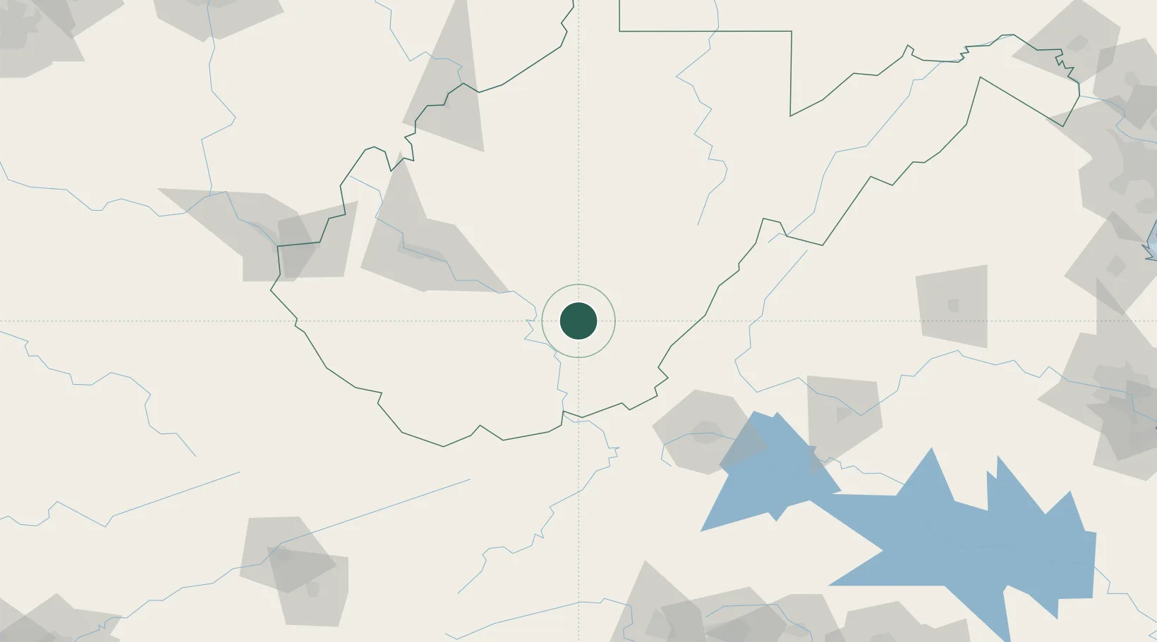
Rainelle
37.9667°, -80.7667°
1,481
Population
3
Transport functions
Transport Functions
Rail
Road
Multimodal
Hub Profile
Place type
Populated place
Region
West Virginia
Population
1,481
Time zone
America/New_York
Elevation
733 m
Location
Nearby Logistics Neighbours
Cities
- 1Salem31 km
- 2Richwood35 km
- 3Daniels40 km
- 4Craigsville42 km
- 5Mabscott44 km
Ports
- 1Fredericksburg292 km
- 2Richmond298 km
- 3Alexandria338 km
- 4Washington D.C.340 km
- 5West Point352 km
Airports
Trade Zones
- 1FTZ No. 229 Charleston93 km
- 2FTZ No. 238 Dublin97 km
- 3FTZ No. 230 Piedmont Triad Area205 km
- 4FTZ No. 204 Tri-Cities220 km
- 5FTZ No. 185 Culpeper County243 km
DatabookThe Record of Consolidated Knowledge
United States beyond logistics?