Transport Functions
Port
Rail
Road
Hub Profile
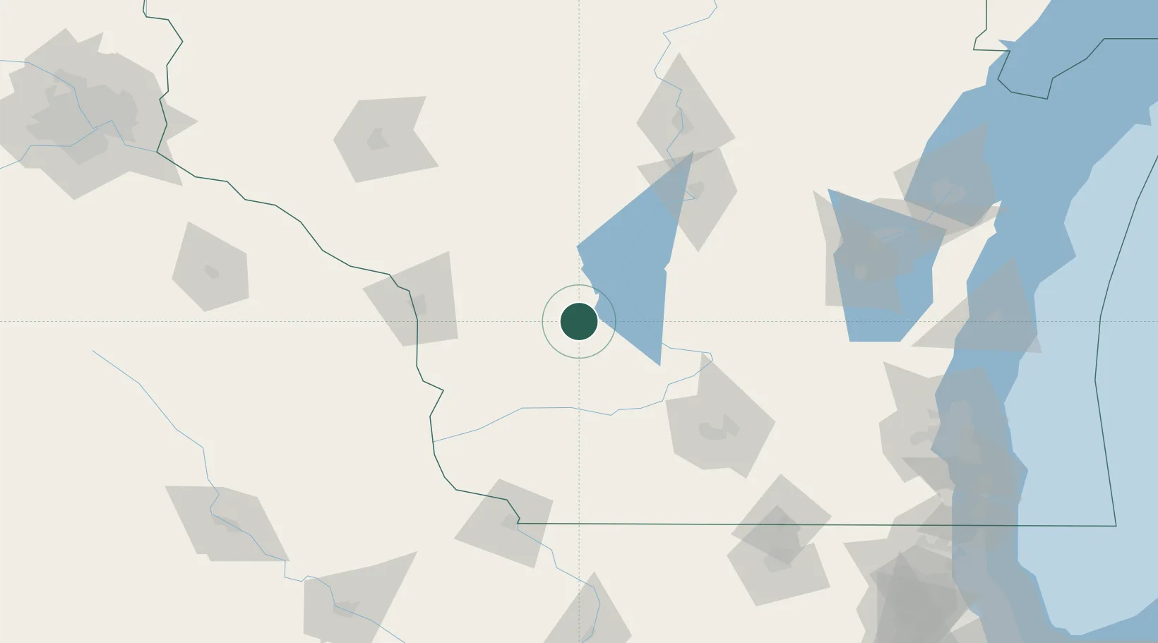
Place type
Populated place
Region
Wisconsin
Population
1,372
Time zone
America/Chicago
Elevation
298 m
Location
Nearby Logistics Neighbours
Cities
- 1Union Center6 km
- 2Wonewoc10 km
- 3Hillsboro11 km
- 4New Lisbon18 km
- 5Lyndon Station31 km
Ports
- 1Kaukauna171 km
- 2Port Washington197 km
- 3Green Bay200 km
- 4Sheboygan206 km
- 5Milwaukee208 km
Airports
- 1Volk Field23 km
- 2La Crosse Regional Airport81 km
- 3Dane County Regional Truax Field100 km
- 4Central Wisconsin Airport125 km
- 5Wittman Regional Airport140 km
Trade Zones
- 1FTZ No. 266 Dane County87 km
- 2FTZ No. 271 Jo-Daviess and Carroll Counties158 km
- 3FTZ No. 167 Brown County178 km
- 4FTZ No. 176 Rockford186 km
- 5FTZ No. 041 Milwaukee190 km
DatabookThe Record of Consolidated Knowledge
United States beyond logistics?