UN/LOCODE hub · United States
USZMK
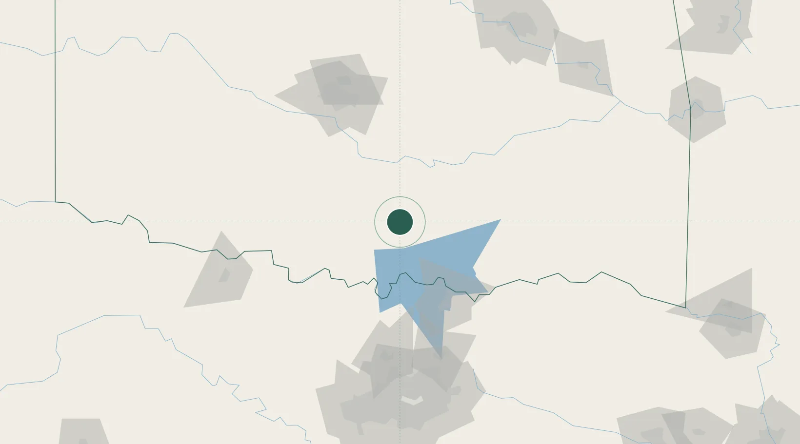
Mill Creek
34.4000°, -96.9833°
319
Population
2
Transport functions
Transport Functions
Multimodal
Fixed Transport
Hub Profile
Place type
Populated place
Region
Oklahoma
Population
319
Time zone
America/Chicago
Elevation
315 m
Location
Nearby Logistics Neighbours
Cities
- 1Sulphur11 km
- 2Davis17 km
- 3Roff28 km
- 4Tishomingo32 km
- 5Milburn45 km
Airports
Trade Zones
- 1FTZ No. 227 Durant70 km
- 2FTZ No. 106 Oklahoma City129 km
- 3FTZ No. 196 Fort Worth186 km
- 4FTZ No. 168 Dallas Fort Worth191 km
- 5FTZ No. 164 Muskogee204 km
DatabookThe Record of Consolidated Knowledge
United States beyond logistics?