Transport Functions
Rail
Road
Hub Profile
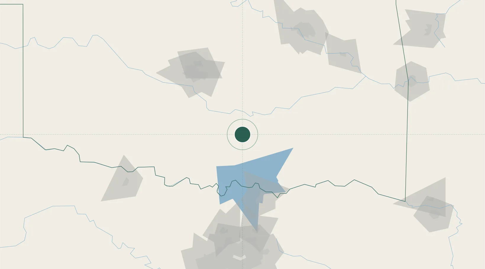
Place type
Populated place
Region
Oklahoma
Population
720
Time zone
America/Chicago
Elevation
383 m
Location
Nearby Logistics Neighbours
Cities
- 1Sulphur18 km
- 2Mill Creek28 km
- 3Davis29 km
- 4Maxwell32 km
- 5Konawa40 km
Airports
Trade Zones
- 1FTZ No. 227 Durant79 km
- 2FTZ No. 106 Oklahoma City114 km
- 3FTZ No. 164 Muskogee177 km
- 4FTZ No. 053 Rogers County211 km
- 5FTZ No. 196 Fort Worth213 km
DatabookThe Record of Consolidated Knowledge
United States beyond logistics?