Transport Functions
Rail
Road
Hub Profile
Place type
Provincial seat
Region
Oklahoma
Population
5,097
Time zone
America/Chicago
Elevation
305 m
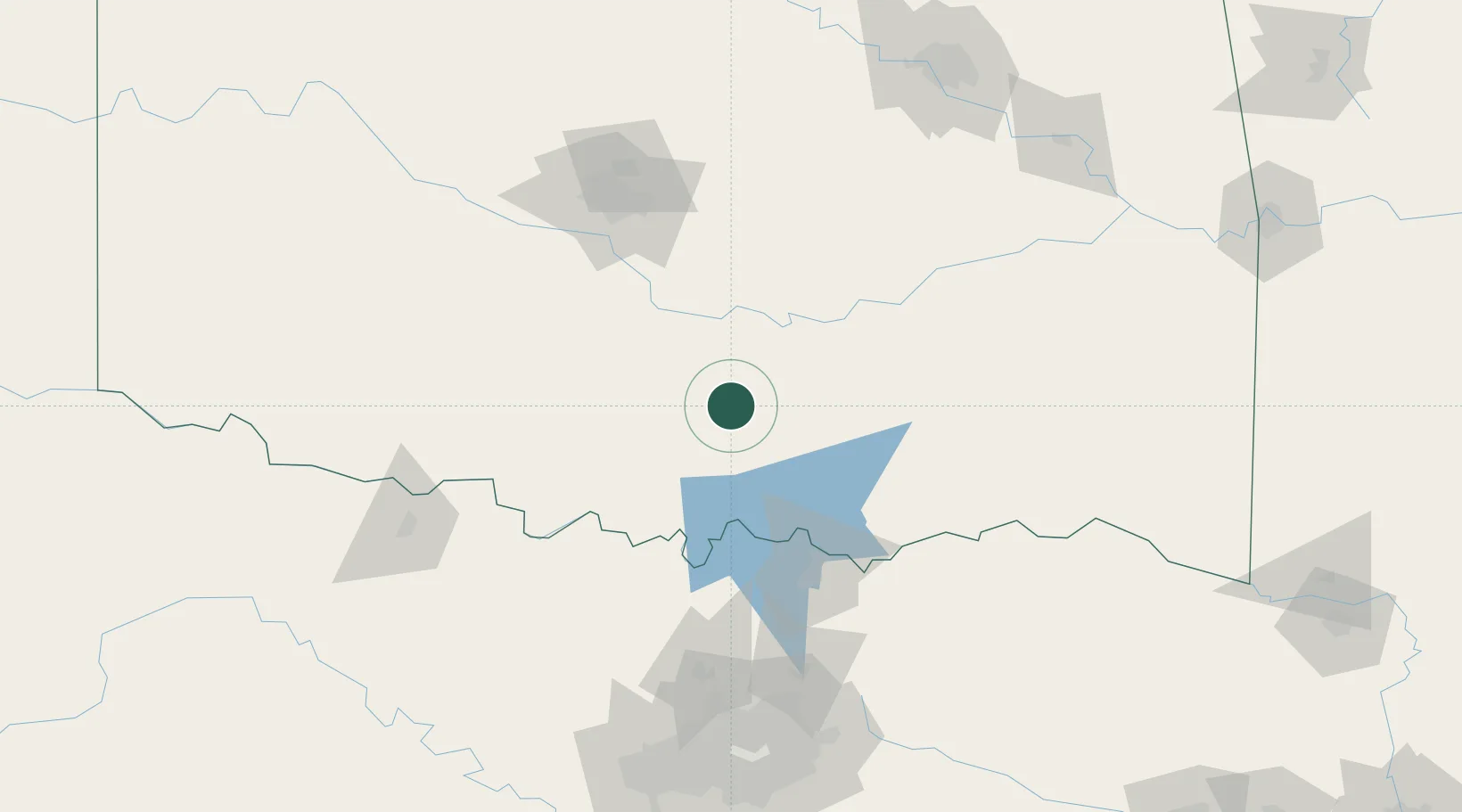
Location
Nearby Logistics Neighbours
Cities
- 1Mill Creek11 km
- 2Davis14 km
- 3Roff18 km
- 4Tishomingo38 km
- 5Paoli44 km
Airports
Trade Zones
- 1FTZ No. 227 Durant76 km
- 2FTZ No. 106 Oklahoma City119 km
- 3FTZ No. 164 Muskogee195 km
- 4FTZ No. 196 Fort Worth197 km
- 5FTZ No. 168 Dallas Fort Worth202 km
DatabookThe Record of Consolidated Knowledge
United States beyond logistics?