Medium airport · United States
Felts FieldKSFF
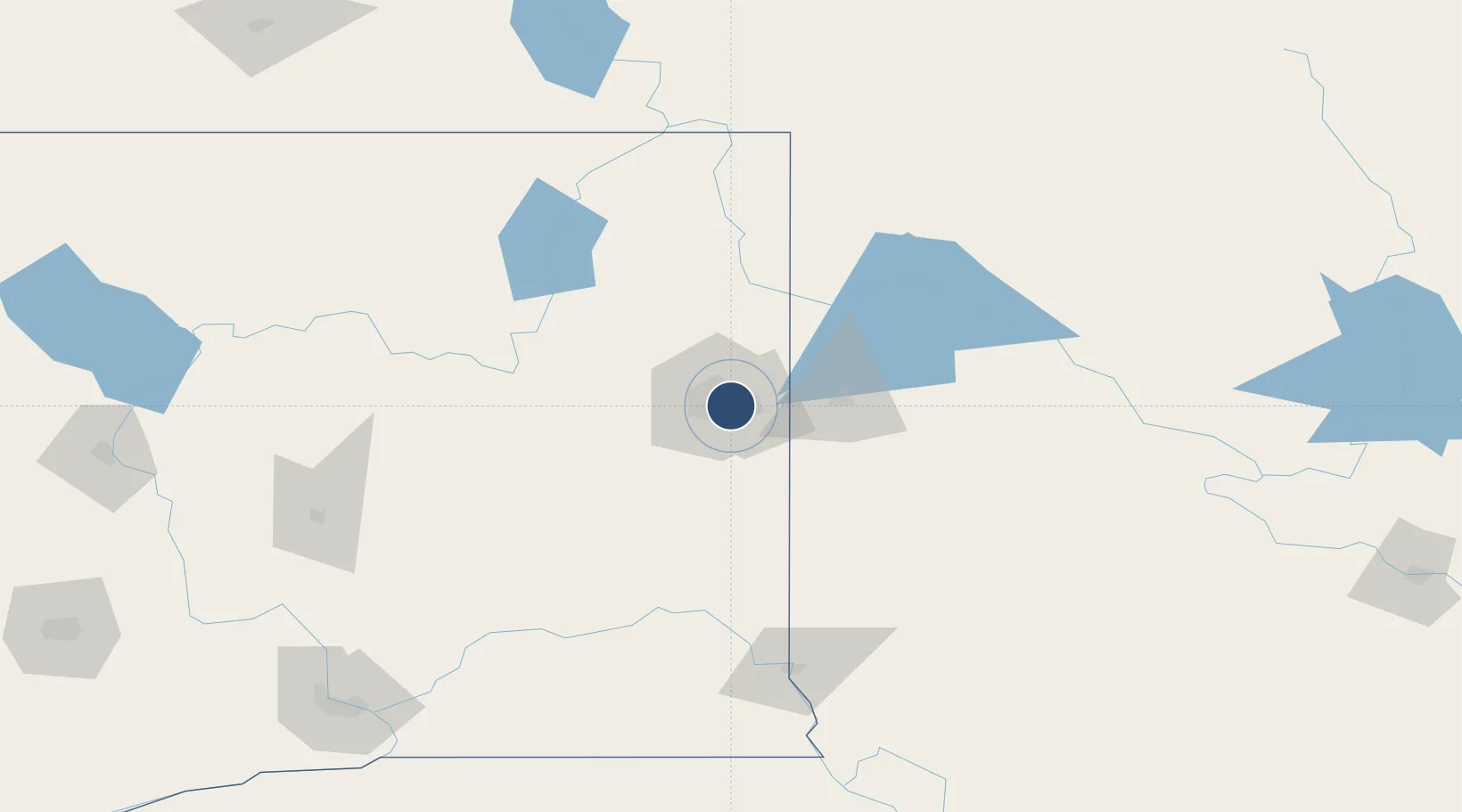
47.6829°, -117.3219°
6,000 ft
Longest runway
3
Runways
1,953 ft
Elevation
Runway & Layout

Radio Frequencies
ATIS
120.55 MHz
TWR
132.5 MHz
GND
121.7 MHz
CTAF
132.5 MHz
A/D
133.35 MHz
SPOKANE APP/DEP
RDO
122.2 MHz
SEATTLE RDO
UNIC
122.95 MHz
UNICOM
Navaids
SFF NDB Felts 365 kHz
Runways · 3
| Runway | Dimensions | Surface | True heading | Lit |
|---|---|---|---|---|
| 3W/21W | 6,000 × 100ft | Water | — | — |
| 4L/22R | 4,500 × 150ft | Concrete | 054° | ✓ |
| 4R/22L | 2,650 × 75ft | Asphalt | 054° | ✓ |
Airport Specifications
IATA code
SFF
ICAO code
KSFF
Airport class
Medium airport
Scheduled service
No
Runway surface
Water
Served city
Spokane
Location
Nearby Logistics Neighbours
Airports
Cities
- 1Greenacres13 km
- 2Mica17 km
- 3Airway Heights20 km
- 4Fairchild Air Force Base24 km
- 5Spangle30 km
Ports
- 1Everett367 km
- 2Mukilteo373 km
- 3The Dalles375 km
- 4Seattle376 km
- 5Point Wells380 km
Trade Zones
- 1FTZ No. 224 Spokane12 km
- 2FTZ No. 242 Boundary County124 km
- 3FTZ No. 203 Moses Lake164 km
- 4FTZ No. 085 Everett367 km
- 5FTZ No. 086 Tacoma385 km
DatabookThe Record of Consolidated Knowledge
United States beyond logistics?